Economic Revitalization Project · France

ZFU Rouen Bihorel Active
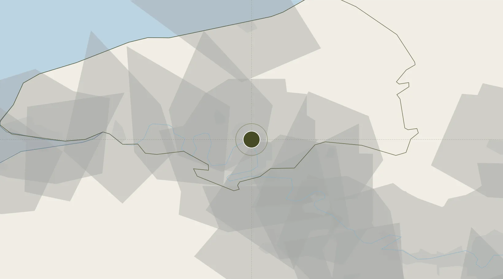
49.4634°, 1.0937°
167 ha
Zone area
2.5 km
Nearest port
10.7 km
Nearest airport

Gateway access

Nearest neighbours — logibook spatial index (haversine) over the source coordinates

Zone profile

Zone type
Economic Revitalization Project
Open Zone Map
Region
Seine-Maritime
Open Zone Map
Status
Active
Open Zone Map
Management
Public
Open Zone Map
Operator
Ville de Rouen
Open Zone Map
Legal framework
Décret no 65-939 du 8 novembre 1965, Décret du 9 Octobre 2008
Open Zone Map

Location

Location of ozm-1982
Natural Earth 10m (public domain) · Seine-Maritime · ozm-1982 · 49.46, 1.09GoogleOSMYandex

Nearby Logistics Neighbours

Ports
  1. 1Port Of Rouen3 km
  2. 2Dieppe52 km
  3. 3Fecamp62 km
  4. 4Honfleur64 km
  5. 5Le Treport70 km
Nearest neighbours — logibook spatial index (haversine) over the source coordinates
Airports
  1. 1Rouen Vallée de Seine Airport11 km
  2. 2Évreux-Fauville (BA 105) Air Base49 km
  3. 3Deauville Normandie airport69 km
  4. 4Le Havre-Octeville Airport73 km
  5. 5Beauvais-Tillé airport74 km
Nearest neighbours — logibook spatial index (haversine) over the source coordinates
Cities
  1. 1Orléans Sta/Rouen3 km
  2. 2Bonsecours4 km
  3. 3Sotteville-lès-Rouen5 km
  4. 4La Vaupalière6 km
  5. 5Le Petit-Quevilly6 km
Nearest neighbours — logibook spatial index (haversine) over the source coordinates
Trade Zones
  1. 1ZFU Évreux49 km
  2. 2ZFU Mantes-la-Jolie69 km
  3. 3ZFU Beauvais69 km
  4. 4ZFU Le Havre71 km
  5. 5ZFU Les Mureaux79 km
Nearest neighbours — logibook spatial index (haversine) over the source coordinates
DatabookThe Record of Consolidated Knowledge
France beyond logistics?
Browse databook

All Sources

Trade ZonesOpen Zone Map
CC BY
Portsthe NGA World Port Index
Public domain (US gov)
AirportsOurAirports
Public domain
LocationsUN/LOCODE
UN/LOCODE — free
← France trade zones