Seaport · France

FecampFRFEC

49.7667°, 0.3667°
8.5
Port liner connectivity
Fecamp is also a UN/LOCODE logistics hub →

Channel & Berth Profile

SEA LEVEL (CD)CHANNEL BEDCargo pier · 6.4 mOil terminal · 6.4 mAnchorage · 11.0 m
NGA World Port Index

Pilotage, Tugs & Services

Pilotage compulsoryYES
Pilotage availableYES
Tug assistanceYES
Salvage tugsNO
Potable waterYES
Diesel bunkersYES
MedicalYES
Garbage disposalYES
NGA World Port Index

Facilities & Capabilities

Container
Ro-Ro
Liquid bulk
Dry bulk
Oil terminal
Break bulk
Dry dock
RepairsNO
BunkeringYES
Rail linkYES
Dangerous cargo
ISPS security
NGA World Port Index

Harbour Specifications

Harbour size
Small
NGA World Port Index
Harbour type
Canal or Lake
NGA World Port Index
Shelter
Fair
NGA World Port Index
Water body
English Channel; North Atlantic Ocean
NGA World Port Index
Tidal range
6 m
NGA World Port Index
Overhead limit
Yes
NGA World Port Index
Pilotage
Yes
NGA World Port Index

Liner Connectivity

8.5
PLSCI

Port Liner Shipping Connectivity Index for Fecamp, as published by UNCTAD for the latest available quarter. Higher values indicate stronger scheduled liner-shipping integration.

Shown relative to the highest per-port PLSCI in the dataset (1,657.9).
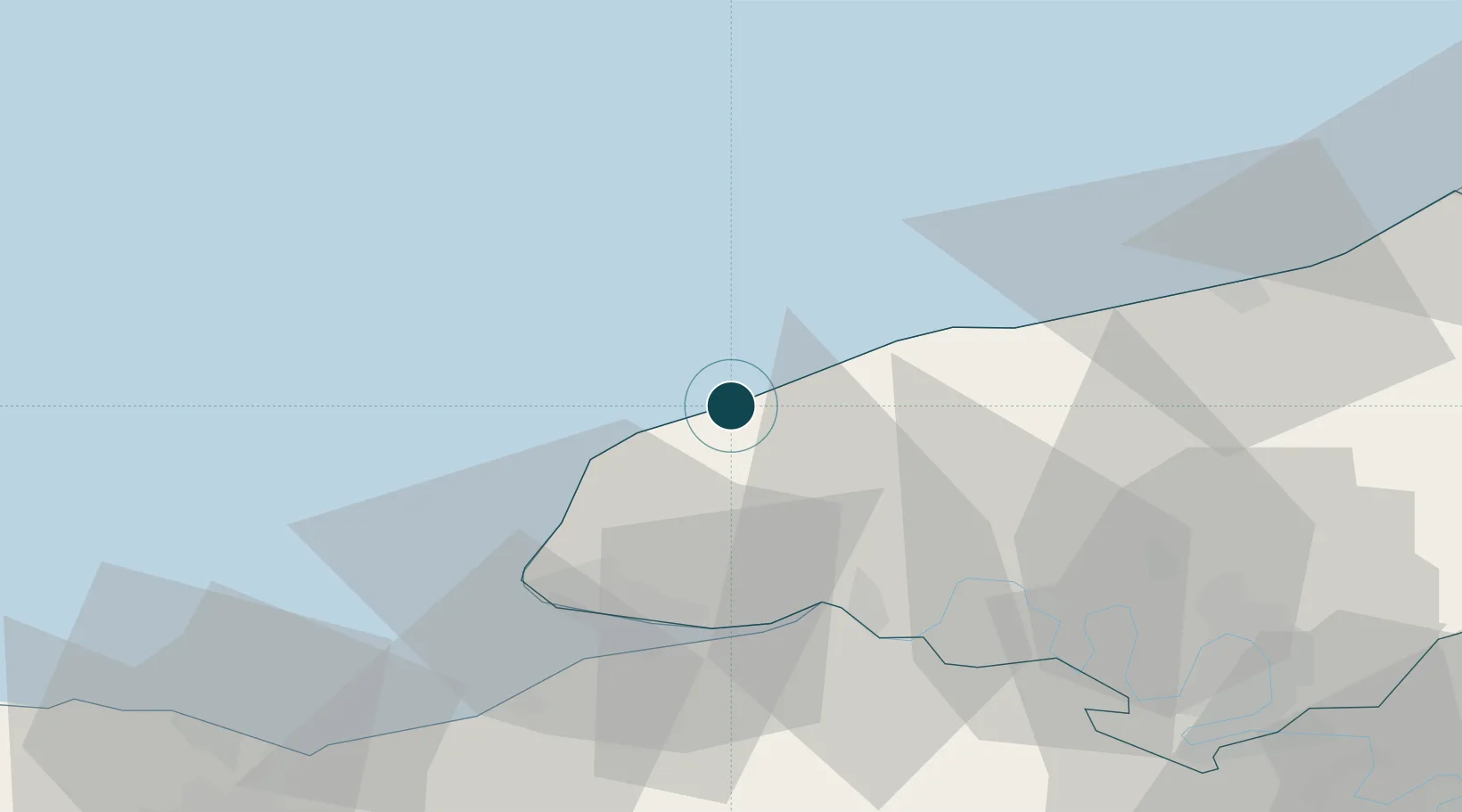
UNCTAD · Port Liner Shipping Connectivity Index

Location

Location of FRFEC
Natural Earth 10m (public domain) · Seine-Maritime · FRFEC · 49.77, 0.37GoogleOSMYandex

Nearby Logistics Neighbours

Ports
  1. 1Port Of Le Havre36 km
  2. 2Honfleur40 km
  3. 3Deauville49 km
  4. 4Dieppe55 km
  5. 5Port Of Rouen62 km
Nearest neighbours — logibook spatial index (haversine) over the source coordinates
Cities
  1. 1Saint-Léonard2 km
  2. 2Yport5 km
  3. 3Therouldeville6 km
  4. 4Limpiville13 km
  5. 5Etretat14 km
Nearest neighbours — logibook spatial index (haversine) over the source coordinates
Airports
  1. 1Le Havre-Octeville Airport33 km
  2. 2Deauville Normandie airport47 km
  3. 3Rouen Vallée de Seine Airport72 km
  4. 4Caen Carpiquet airport89 km
  5. 5Évreux-Fauville (BA 105) Air Base103 km
Nearest neighbours — logibook spatial index (haversine) over the source coordinates
Trade Zones
  1. 1ZFU Le Havre34 km
  2. 2ZFU Rouen Bihorel62 km
  3. 3ZFU Hérouville-Saint-Clair81 km
  4. 4ZFU La Guérinière, La Grâce de Dieu86 km
  5. 5ZFU Évreux100 km
Nearest neighbours — logibook spatial index (haversine) over the source coordinates
DatabookThe Record of Consolidated Knowledge
France beyond logistics?
Browse databook

All Sources

Portsthe NGA World Port Index
Public domain (US gov)
Logistics performanceUNCTAD
CC BY 3.0 IGO
AirportsOurAirports
Public domain
LocationsUN/LOCODE
UN/LOCODE — free
Trade Zonesthe World Bank SEZ database
CC BY 4.0
Trade ZonesOpen Zone Map
CC BY
← France ports