Medium airport · France

Abbeville-Buigny Baie de Somme AirfieldLFOI
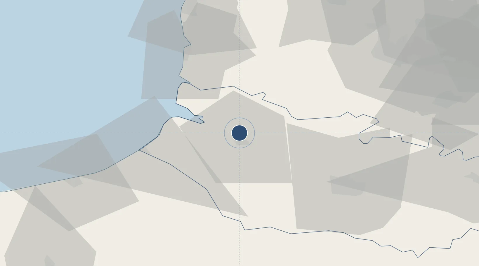
50.1435°, 1.8319°
4,101 ft
Longest runway
3
Runways
220 ft
Elevation

Runway & Layout

Abbeville-Buigny Baie de Somme Airfield runway & taxiway layout
Runway & taxiway layout — OpenStreetMap (ODbL) / OurAirports

Radio Frequencies

A/A
123.5 MHz
Abbeville
OurAirports

Navaids

ABB VOR-DME Abbeville 108.45 MHz
OurAirports

Runways · 3

RunwayDimensions SurfaceTrue headingLit
02/20 4,101 × 75ft Concrete 022°
02L/20R 2,950 × 330ft Grass 024°
13/31 1,880 × 260ft Grass 134°
OurAirports

Airport Specifications

ICAO code
LFOI
OurAirports
Airport class
Medium airport
OurAirports
Scheduled service
No
OurAirports
Runway surface
Concrete
OurAirports
Served city
Buigny-Saint-Maclou
OurAirports

Location

Location of LFOI
Natural Earth 10m (public domain) · Somme · LFOI · 50.14, 1.83GoogleOSMYandex

Nearby Logistics Neighbours

Airports
  1. 1Le Touquet-Côte d'Opale Airport44 km
  2. 2Amiens Glisy Airfield50 km
  3. 3Merville-Calonne Airport78 km
  4. 4Beauvais-Tillé airport79 km
  5. 5Péronne Saint-Quentin Airfield91 km
Nearest neighbours — logibook spatial index (haversine) over the source coordinates
Cities
  1. 1Abbeville5 km
  2. 2Épagne-Épagnette9 km
  3. 3Noyelles10 km
  4. 4Saint-Valery-sur-Somme15 km
  5. 5Le Crotoy17 km
Nearest neighbours — logibook spatial index (haversine) over the source coordinates
Ports
  1. 1Saint-Valery-Sur-Somme16 km
  2. 2Le Treport34 km
  3. 3Dieppe58 km
  4. 4Boulogne-Sur-Mer68 km
  5. 5Calais92 km
Nearest neighbours — logibook spatial index (haversine) over the source coordinates
Trade Zones
  1. 1ZFU Amiens36 km
  2. 2ZFU Beauvais79 km
  3. 3ZFU Hénin-Beaumont, Montigny-en-Gohelle, Courrières, Rouvroy, Drocourt, Dourges81 km
  4. 4ZFU Calais90 km
  5. 5ZFU Rouen Bihorel92 km
Nearest neighbours — logibook spatial index (haversine) over the source coordinates
DatabookThe Record of Consolidated Knowledge
France beyond logistics?
Browse databook

All Sources

AirportsOurAirports
Public domain
Portsthe NGA World Port Index
Public domain (US gov)
LocationsUN/LOCODE
UN/LOCODE — free
Trade Zonesthe World Bank SEZ database
CC BY 4.0
Trade ZonesOpen Zone Map
CC BY
InfrastructureOpenStreetMap
ODbL 1.0
← France airports