Medium airport · France

Rouen Vallée de Seine AirportLFOP
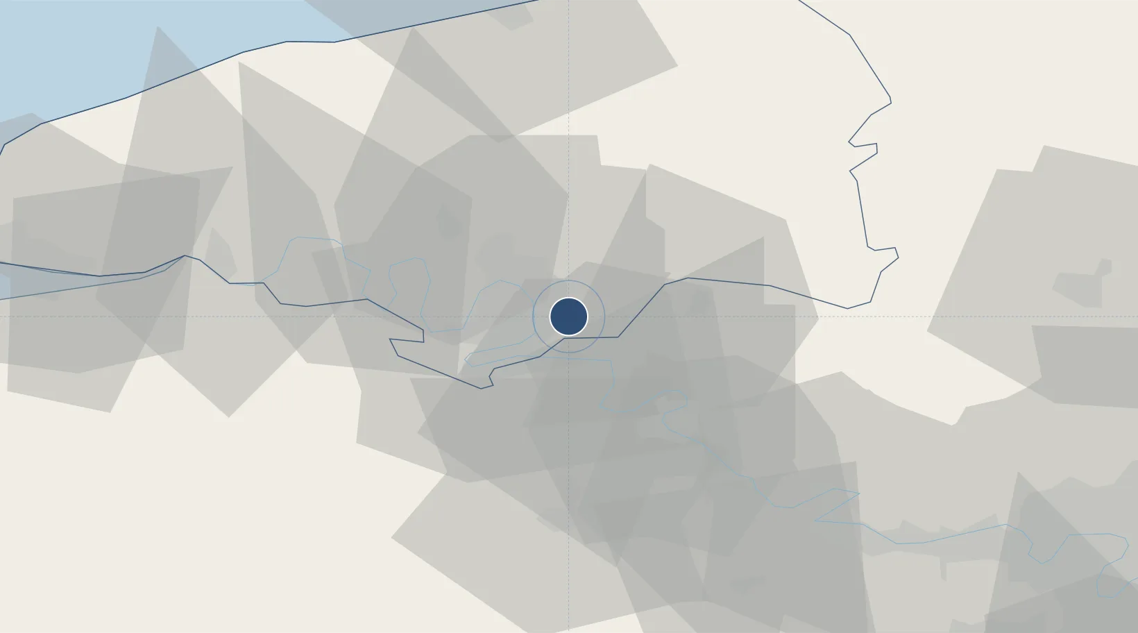
49.3849°, 1.1791°
5,577 ft
Longest runway
2
Runways
512 ft
Elevation

Runway & Layout

Rouen Vallée de Seine Airport runway & taxiway layout
Runway & taxiway layout — OpenStreetMap (ODbL) / OurAirports

Radio Frequencies

ATIS
120.73 MHz
TWR
120.2 MHz
ROUEN TWR
APP
118.575 MHz
ROUEN APP
OurAirports

Runways · 2

RunwayDimensions SurfaceTrue headingLit
04/22 5,577 × 148ft Asphalt 041°
05/23 2,952 × 262ft GRASS
OurAirports

Airport Specifications

IATA code
URO
OurAirports
ICAO code
LFOP
OurAirports
Airport class
Medium airport
OurAirports
Scheduled service
No
OurAirports
Runway surface
Asphalt
OurAirports
Served city
Boos
OurAirports

Location

Location of LFOP
Natural Earth 10m (public domain) · Seine-Maritime · LFOP · 49.38, 1.18GoogleOSMYandex

Nearby Logistics Neighbours

Airports
  1. 1Évreux-Fauville (BA 105) Air Base40 km
  2. 2Beauvais-Tillé airport68 km
  3. 3Pontoise-Cormeilles Aerodrome70 km
  4. 4Deauville Normandie airport74 km
  5. 5Le Havre-Octeville Airport81 km
Nearest neighbours — logibook spatial index (haversine) over the source coordinates
Cities
  1. 1Gouy4 km
  2. 2Bonsecours6 km
  3. 3Sotteville-lès-Rouen7 km
  4. 4Orléans Sta/Rouen8 km
  5. 5Le Petit-Quevilly10 km
Nearest neighbours — logibook spatial index (haversine) over the source coordinates
Ports
  1. 1Port Of Rouen11 km
  2. 2Dieppe61 km
  3. 3Honfleur70 km
  4. 4Fecamp72 km
  5. 5Le Treport77 km
Nearest neighbours — logibook spatial index (haversine) over the source coordinates
Trade Zones
  1. 1ZFU Rouen Bihorel11 km
  2. 2ZFU Évreux40 km
  3. 3ZFU Mantes-la-Jolie59 km
  4. 4ZFU Beauvais64 km
  5. 5ZFU Les Mureaux68 km
Nearest neighbours — logibook spatial index (haversine) over the source coordinates
DatabookThe Record of Consolidated Knowledge
France beyond logistics?
Browse databook

All Sources

AirportsOurAirports
Public domain
Portsthe NGA World Port Index
Public domain (US gov)
LocationsUN/LOCODE
UN/LOCODE — free
Trade Zonesthe World Bank SEZ database
CC BY 4.0
Trade ZonesOpen Zone Map
CC BY
InfrastructureOpenStreetMap
ODbL 1.0
← France airports