Transport Functions
Port
Rail
Airport
Hub Profile
Place type
District seat
Region
Normandy
Population
35,707
Time zone
Europe/Paris
Elevation
9 m
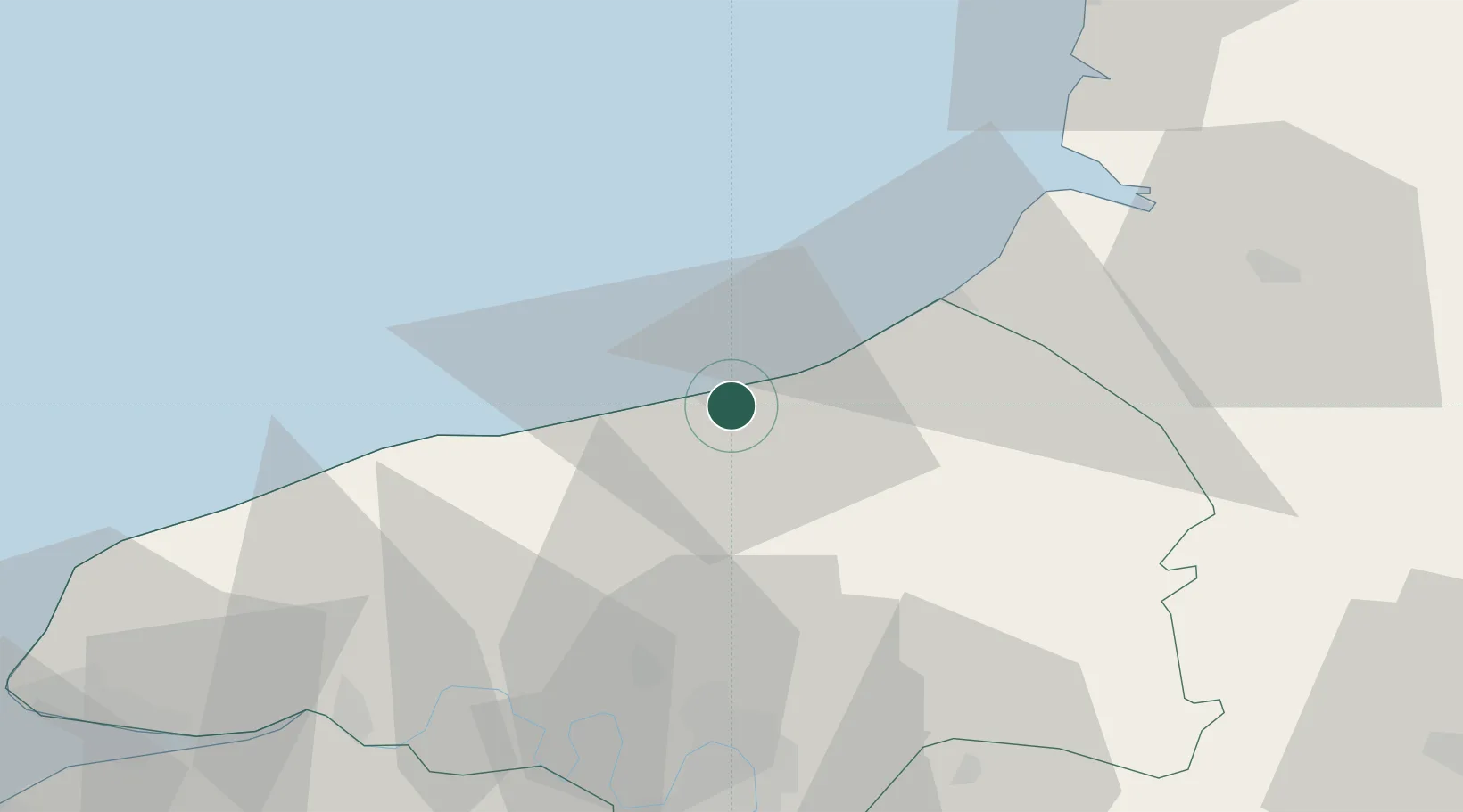
Location
Nearby Logistics Neighbours
Cities
- 1Rouxmesnil-Bouteilles1 km
- 2Martin-Église5 km
- 3Anneville-sur-Scie9 km
- 4Manéhouville9 km
- 5Quiberville12 km
Ports
- 1Le Treport26 km
- 2Saint-Valery-Sur-Somme48 km
- 3Port Of Rouen52 km
- 4Fecamp54 km
- 5Honfleur84 km
Airports
Trade Zones
- 1ZFU Rouen Bihorel50 km
- 2ZFU Amiens75 km
- 3ZFU Le Havre83 km
- 4ZFU Beauvais87 km
- 5ZFU Évreux99 km
DatabookThe Record of Consolidated Knowledge
France beyond logistics?