Transport Functions
Port
Rail
Road
Airport
Hub Profile
Place type
Provincial seat
Region
Normandy
Population
110,624
Time zone
Europe/Paris
Elevation
21 m
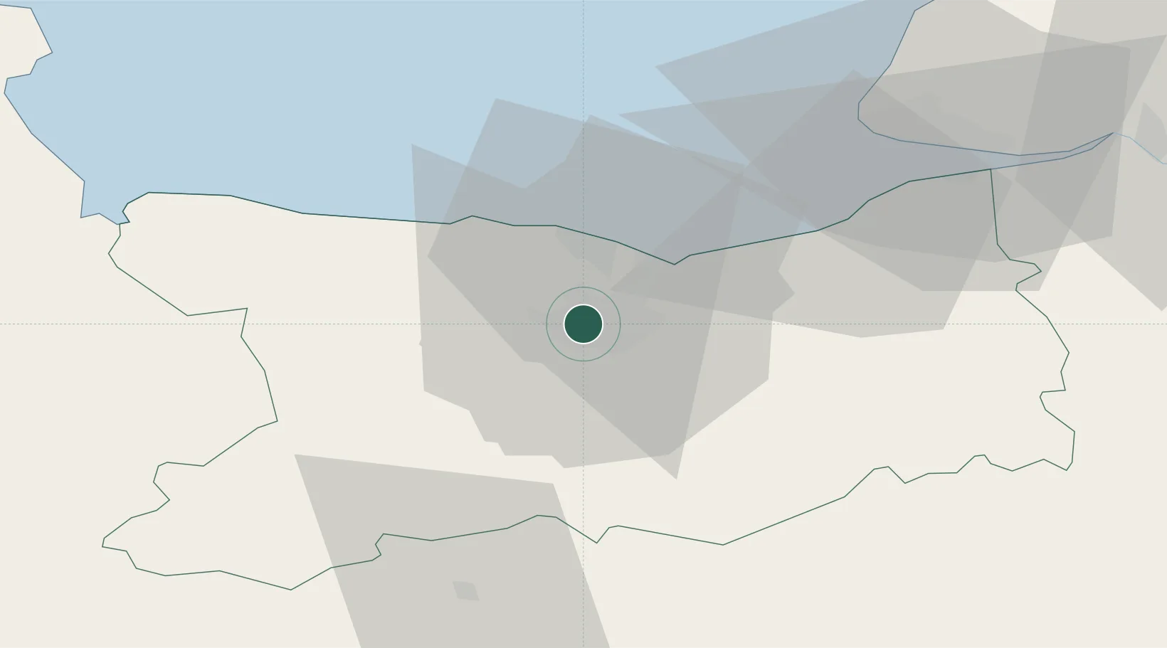
Location
Nearby Logistics Neighbours
Cities
- 1Cormelles-le-Royal4 km
- 2Ifs6 km
- 3Mouen9 km
- 4Cagny9 km
- 5Ranville10 km
Ports
- 1Ouistreham14 km
- 2Deauville39 km
- 3Port Of Le Havre48 km
- 4Honfleur50 km
- 5Fecamp84 km
Airports
- 1Caen Carpiquet airport7 km
- 2Deauville Normandie airport43 km
- 3Le Havre-Octeville Airport51 km
- 4Granville Airport94 km
- 5Cherbourg Manche airport95 km
Trade Zones
- 1ZFU Hérouville-Saint-Clair3 km
- 2ZFU La Guérinière, La Grâce de Dieu3 km
- 3ZFU Le Havre50 km
- 4ZFU Alençon90 km
- 5ZFU Cherbourg-Octeville107 km
DatabookThe Record of Consolidated Knowledge
France beyond logistics?