Transport Functions
Road
Multimodal
Hub Profile
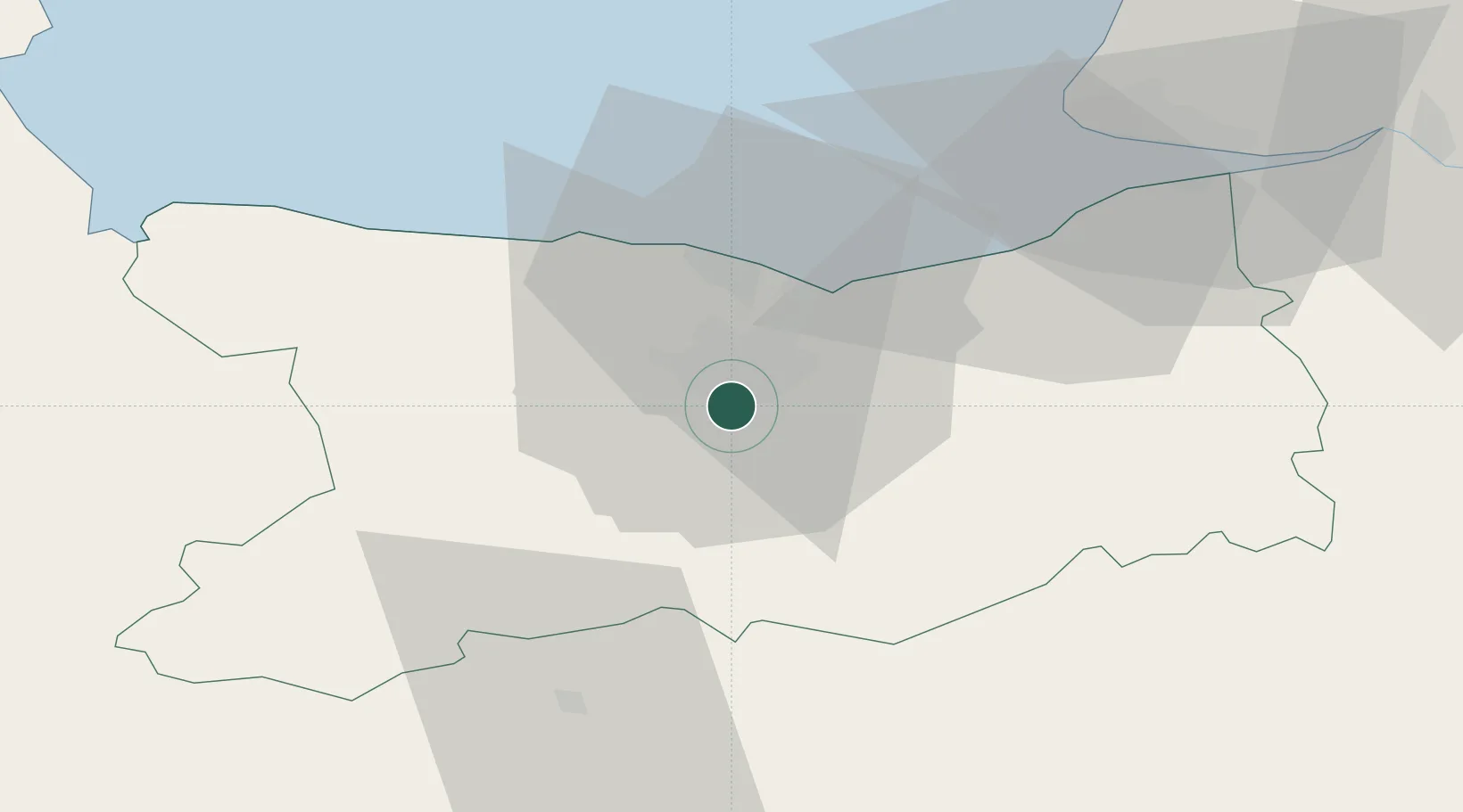
Place type
Populated place
Region
Normandy
Population
9,617
Time zone
Europe/Paris
Elevation
32 m
Location
Nearby Logistics Neighbours
Cities
- 1Cormelles-le-Royal2 km
- 2Caen6 km
- 3Garcelles-Secqueville6 km
- 4Cagny8 km
- 5Amayé-sur-Orne8 km
Ports
- 1Port De Caen6 km
- 2Ouistreham18 km
- 3Deauville41 km
- 4Port Of Le Havre52 km
- 5Honfleur52 km
Airports
- 1Caen Carpiquet airport9 km
- 2Deauville Normandie airport45 km
- 3Le Havre-Octeville Airport55 km
- 4Granville Airport93 km
- 5Cherbourg Manche airport99 km
Trade Zones
- 1ZFU La Guérinière, La Grâce de Dieu7 km
- 2ZFU Hérouville-Saint-Clair8 km
- 3ZFU Le Havre53 km
- 4ZFU Alençon84 km
- 5ZFU Évreux110 km
DatabookThe Record of Consolidated Knowledge
France beyond logistics?