Transport Functions
Rail
Road
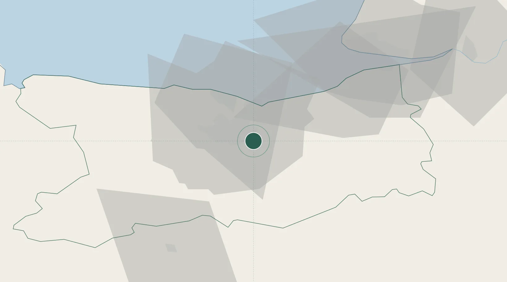
Hub Profile
Place type
Populated place
Region
Normandy
Population
1,653
Time zone
Europe/Paris
Elevation
21 m
Location
Nearby Logistics Neighbours
Cities
- 1Cormelles-le-Royal6 km
- 2Garcelles-Secqueville6 km
- 3Ifs8 km
- 4Caen9 km
- 5Ranville9 km
Ports
- 1Port De Caen8 km
- 2Ouistreham15 km
- 3Deauville34 km
- 4Honfleur45 km
- 5Port Of Le Havre46 km
Airports
- 1Caen Carpiquet airport15 km
- 2Deauville Normandie airport38 km
- 3Le Havre-Octeville Airport49 km
- 4Granville Airport100 km
- 5Cherbourg Manche airport104 km
Trade Zones
- 1ZFU Hérouville-Saint-Clair9 km
- 2ZFU La Guérinière, La Grâce de Dieu12 km
- 3ZFU Le Havre48 km
- 4ZFU Alençon84 km
- 5ZFU Évreux103 km
DatabookThe Record of Consolidated Knowledge
France beyond logistics?