UN/LOCODE hub · Faroe Islands
FOTOR
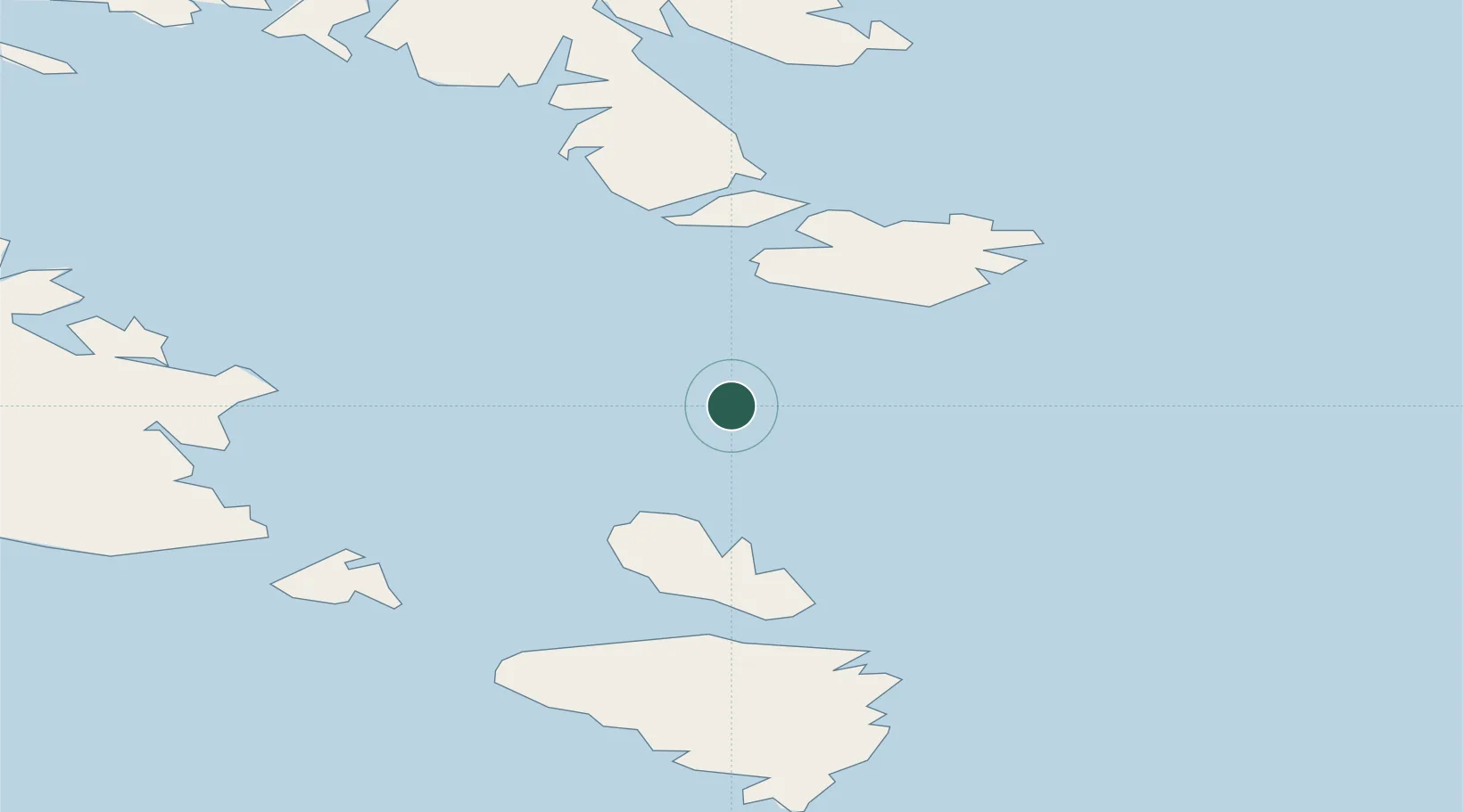
Tórshavn
62.1667°, -65.0000°
13,200
Population
2
Transport functions
Transport Functions
Port
Multimodal
Hub Profile
Place type
National capital
Region
Streymoy
Population
13,200
Time zone
Atlantic/Faroe
Elevation
1 m
Location
Nearby Logistics Neighbours
Cities
- 1Iqaluit248 km
- 2Seven Islands Bay313 km
- 3Hebron460 km
- 4Kuujjuaq490 km
- 5Edwards Cove610 km
Ports
- 1Pangnirtung443 km
- 2Deception Bay502 km
- 3Nain652 km
- 4Maniitsoq693 km
- 5Sisimiut753 km
Airports
- 1Iqaluit Airport252 km
- 2Kimmirut Airport262 km
- 3Quaqtaq Airport274 km
- 4Kangirsuk Airport359 km
- 5Kangiqsujuaq (Wakeham Bay) Airport369 km
Trade Zones
- 1Crossroads Business Park1605 km
- 2FTZ No. 179 Madawaska1669 km
- 3Québec City FTZ1751 km
- 4Cape Breton Regional Municipality Foreign Trade Zone1800 km
- 5Saint John1880 km
DatabookThe Record of Consolidated Knowledge
Faroe Islands beyond logistics?