Transport Functions
Port
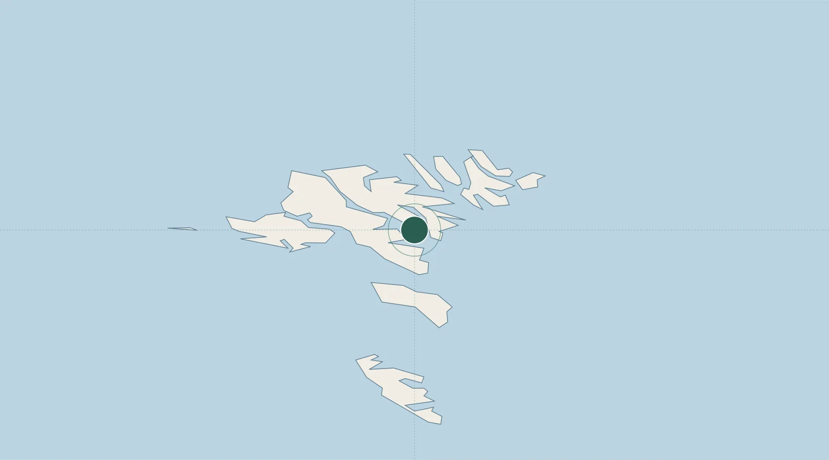
Location
Nearby Logistics Neighbours
Ports
- 1Runavik3 km
- 2Torshavn11 km
- 3Fuglafjordur17 km
- 4Klaksvik17 km
- 5Vestmanna22 km
Airports
- 1Boðanes Heliport9 km
- 2Klaksvík Heliport16 km
- 3Koltur Heliport17 km
- 4Vágar Airport28 km
- 5Svínoy Heliport29 km
Trade Zones
DatabookThe Record of Consolidated Knowledge
Faroe Islands beyond logistics?