Transport Functions
Port
Road
Hub Profile
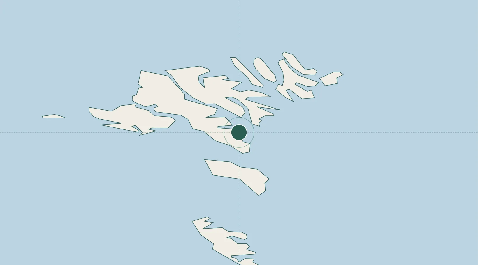
Place type
Populated place
Region
Streymoy
Population
4,618
Time zone
Atlantic/Faroe
Elevation
76 m
Location
Nearby Logistics Neighbours
Cities
- 1Thorshavn2 km
- 2Nólsoy5 km
- 3Sjovar havn7 km
- 4Toftir8 km
- 5Velbastadur8 km
Ports
- 1Torshavn4 km
- 2Runavik9 km
- 3Klaksvik24 km
- 4Fuglafjordur24 km
- 5Vestmanna25 km
Airports
- 1Boðanes Heliport1 km
- 2Koltur Heliport12 km
- 3Klaksvík Heliport22 km
- 4Vágar Airport28 km
- 5Skúvoy Heliport30 km
Trade Zones
DatabookThe Record of Consolidated Knowledge
Faroe Islands beyond logistics?