Seaport · Fiji
Suva HarborFJSUV
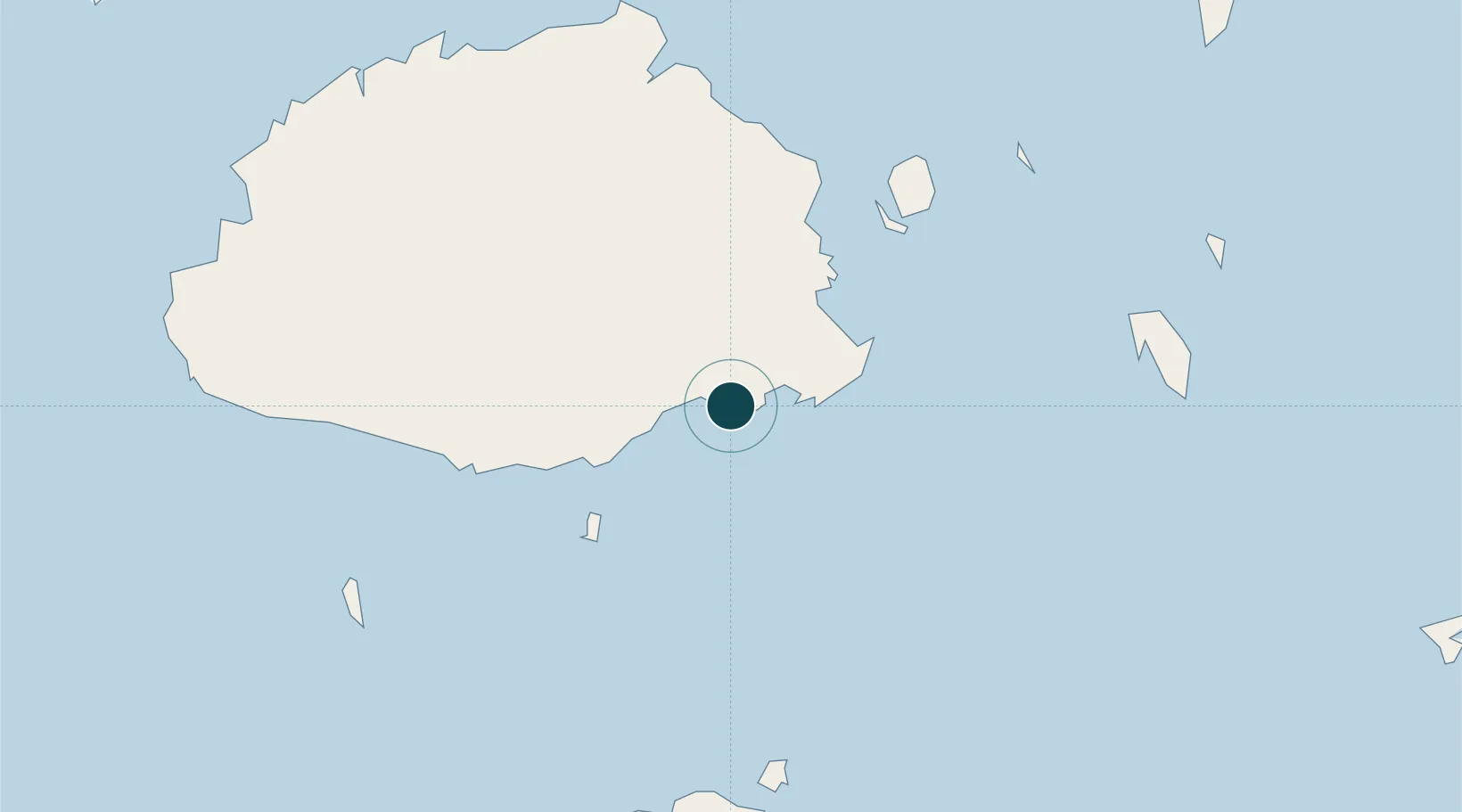
-18.1333°, 178.4167°
23.2 m
Channel depth
1
Container terminals
94.0
Port liner connectivity
Channel & Berth Profile
Pilotage, Tugs & Services
Pilotage compulsoryYES
Pilotage availableYES
Local assistanceYES
Tug assistanceYES
Potable waterYES
Diesel bunkersYES
MedicalYES
Garbage disposalYES
Facilities & Capabilities
ContainerYES
Ro-RoYES
Liquid bulkYES
Dry bulkYES
Oil terminal—
Break bulkYES
Dry dockNO
RepairsNO
BunkeringYES
Rail link—
Dangerous cargo—
ISPS security—
Harbour Specifications
Harbour size
Small
Harbour type
Coastal (Natural)
Shelter
Good
Water body
South Pacific Ocean
Tidal range
2 m
Overhead limit
No
Pilotage
Yes
Liner Connectivity
94
PLSCI
Port Liner Shipping Connectivity Index for Suva Harbor, as published by UNCTAD for the latest available quarter. Higher values indicate stronger scheduled liner-shipping integration.
Shown relative to the highest per-port PLSCI in the dataset (1,657.9).
Location
Container Terminals · 1
PORT OF SUVA
POSU FIJI PORT CORPORATION LIMITED
Nearby Logistics Neighbours
Ports
- 1Lautoka Harbor118 km
- 2Savusavu Bay180 km
- 3Port Vila1069 km
- 4Funafuti Atoll1072 km
- 5Luganville1232 km
Cities
- 1Ellington Wharf90 km
- 2Singatoka95 km
- 3Vatia Wharf107 km
- 4Vuda114 km
- 5Denarau117 km
Airports
- 1Nausori International Airport18 km
- 2Levuka Airfield59 km
- 3Ngau Airport98 km
- 4Vunisea Airport106 km
- 5Nadi International Airport112 km
Trade Zones
- 1Rotuma-Kadavu Tax-Free Region1 km
- 2Kalabu Tax Free Zone8 km
- 3Nausori-Ba Tax-Free Region16 km
- 4Lautoka Special Zone118 km
- 5Savusavu Industrial Zone179 km
DatabookThe Record of Consolidated Knowledge
Fiji beyond logistics?