UN/LOCODE hub · Fiji
FJSUV
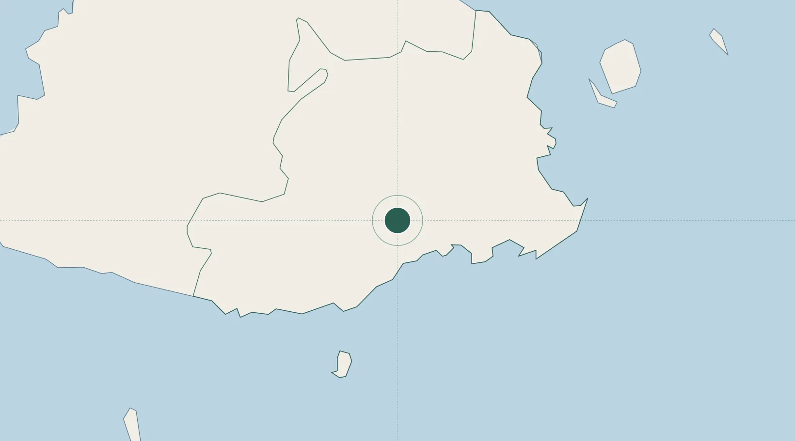
Suva
-18.0448°, 178.2635°
77,366
Population
3
Transport functions
1
Container terminals
Transport Functions
Port
Airport
Postal
Hub Profile
Place type
National capital
Region
Central
Population
77,366
Time zone
Pacific/Fiji
Logistics facilities
6
Container terminals
1
Location
Nearby Logistics Neighbours
Cities
- 1Ellington Wharf77 km
- 2Singatoka80 km
- 3Vatia Wharf89 km
- 4Vuda95 km
- 5Denarau98 km
Ports
- 1Lautoka Harbor99 km
- 2Savusavu Bay182 km
- 3Port Vila1053 km
- 4Funafuti Atoll1064 km
- 5Luganville1214 km
Airports
- 1Nausori International Airport32 km
- 2Levuka Airfield64 km
- 3Nadi International Airport93 km
- 4Vunisea Airport113 km
- 5Ngau Airport114 km
Trade Zones
- 1Rotuma-Kadavu Tax-Free Region20 km
- 2Kalabu Tax Free Zone24 km
- 3Nausori-Ba Tax-Free Region28 km
- 4Lautoka Special Zone100 km
- 5Vanua Levu Tax-Free Region177 km
DatabookThe Record of Consolidated Knowledge
Fiji beyond logistics?