Runway & Layout

Airport Specifications
IATA code
NGI
ICAO code
NFNG
Airport class
Small airport
Scheduled service
Yes
Served city
Ngau
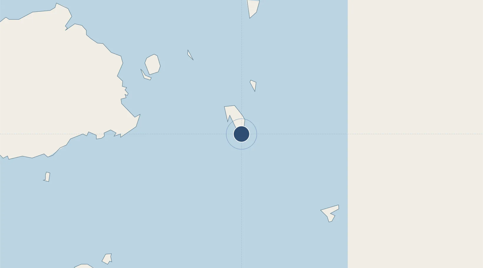
Location
Nearby Logistics Neighbours
Airports
- 1Levuka Airfield76 km
- 2Moala Airport82 km
- 3Nausori International Airport83 km
- 4Koro Island Airport86 km
- 5Savusavu Airport146 km
Cities
- 1Suva114 km
- 2Nambouwalu143 km
- 3Ellington Wharf146 km
- 4Wairiki151 km
- 5Vatia Wharf185 km
Ports
- 1Suva Harbor98 km
- 2Savusavu Bay150 km
- 3Lautoka Harbor208 km
- 4Funafuti Atoll1068 km
- 5Port Vila1167 km
Trade Zones
- 1Nausori-Ba Tax-Free Region87 km
- 2Kalabu Tax Free Zone91 km
- 3Rotuma-Kadavu Tax-Free Region97 km
- 4Savusavu Industrial Zone149 km
- 5Vanua Levu Tax-Free Region170 km
DatabookThe Record of Consolidated Knowledge
Fiji beyond logistics?