Runway & Layout

Airport Specifications
IATA code
KDV
ICAO code
NFKD
Airport class
Small airport
Scheduled service
Yes
Served city
Vunisea
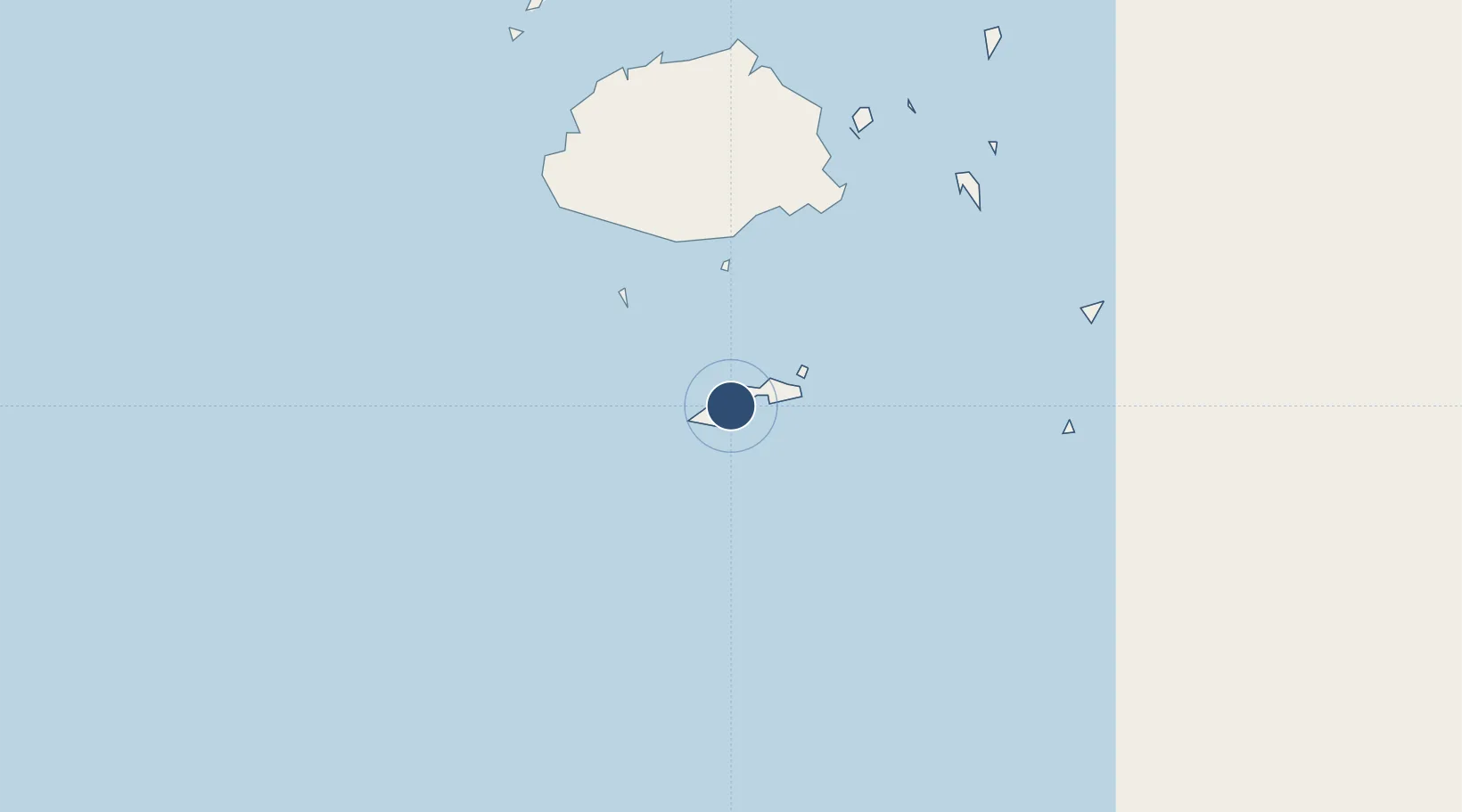
Location
Nearby Logistics Neighbours
Airports
- 1Nausori International Airport121 km
- 2Levuka Airfield163 km
- 3Ngau Airport163 km
- 4Nadi International Airport163 km
- 5Malolo Lailai Island Airport175 km
Ports
- 1Suva Harbor106 km
- 2Lautoka Harbor179 km
- 3Savusavu Bay284 km
- 4Port Vila1049 km
- 5Funafuti Atoll1177 km
Trade Zones
- 1Rotuma-Kadavu Tax-Free Region106 km
- 2Kalabu Tax Free Zone113 km
- 3Nausori-Ba Tax-Free Region121 km
- 4Lautoka Special Zone177 km
- 5Savusavu Industrial Zone282 km
DatabookThe Record of Consolidated Knowledge
Fiji beyond logistics?