Transport Functions
Port
Road
Multimodal
Hub Profile
Region
11
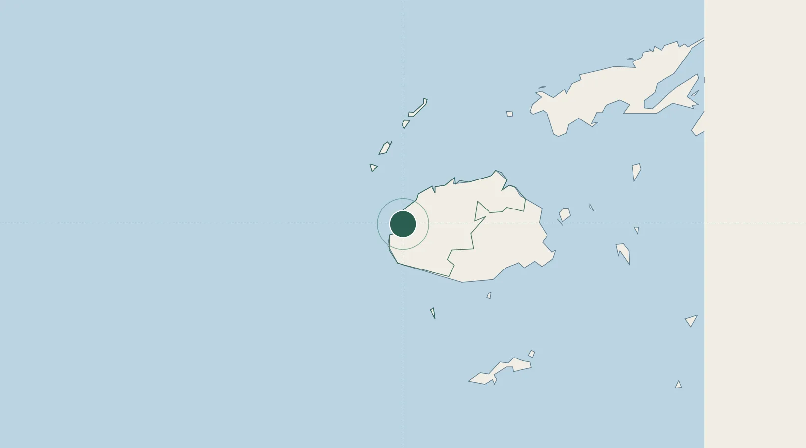
Location
Nearby Logistics Neighbours
Cities
- 1Lautoka18 km
- 2Momi20 km
- 3Vuda22 km
- 4Singatoka47 km
- 5Vatia Wharf58 km
Ports
- 1Lautoka Harbor20 km
- 2Suva Harbor117 km
- 3Savusavu Bay235 km
- 4Port Vila960 km
- 5Funafuti Atoll1046 km
Airports
- 1Nadi International Airport6 km
- 2Malolo Lailai Island Airport20 km
- 3Mana Island Airport32 km
- 4Yasawa Island Airport113 km
- 5Nausori International Airport128 km
Trade Zones
- 1Lautoka Special Zone17 km
- 2Rotuma-Kadavu Tax-Free Region117 km
- 3Kalabu Tax Free Zone122 km
- 4Nausori-Ba Tax-Free Region124 km
- 5Vanua Levu Tax-Free Region214 km
DatabookThe Record of Consolidated Knowledge
Fiji beyond logistics?