Transport Functions
Port
Road
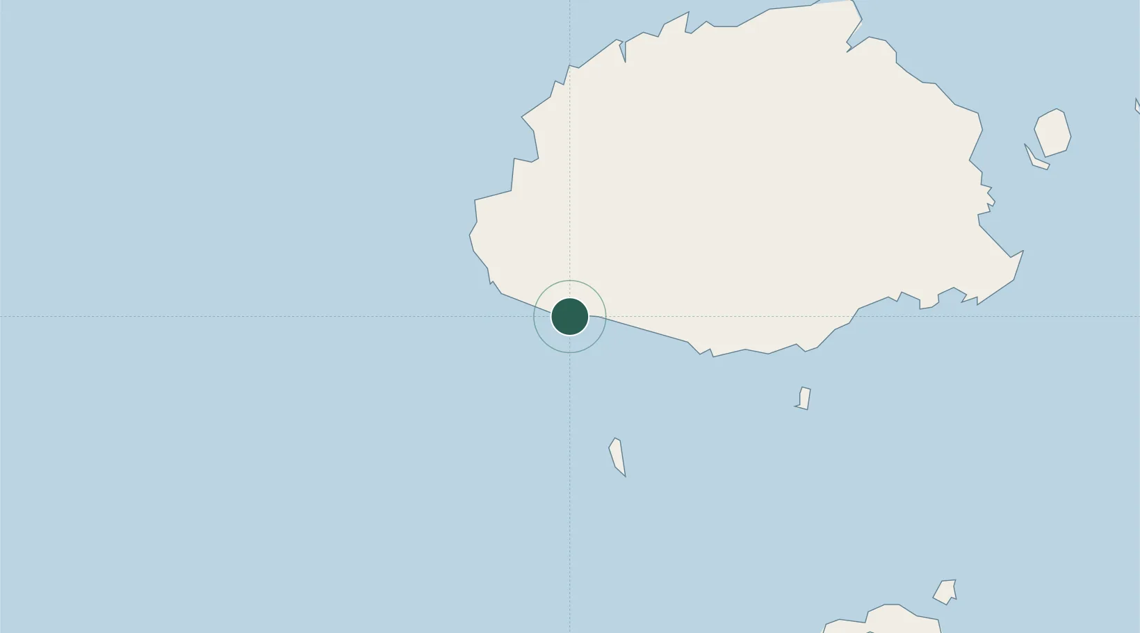
Location
Nearby Logistics Neighbours
Ports
- 1Lautoka Harbor63 km
- 2Suva Harbor95 km
- 3Savusavu Bay248 km
- 4Port Vila974 km
- 5Funafuti Atoll1087 km
Airports
- 1Nadi International Airport46 km
- 2Malolo Lailai Island Airport55 km
- 3Mana Island Airport71 km
- 4Nausori International Airport111 km
- 5Vunisea Airport120 km
Trade Zones
- 1Lautoka Special Zone61 km
- 2Rotuma-Kadavu Tax-Free Region96 km
- 3Kalabu Tax Free Zone102 km
- 4Nausori-Ba Tax-Free Region108 km
- 5Vanua Levu Tax-Free Region233 km
DatabookThe Record of Consolidated Knowledge
Fiji beyond logistics?