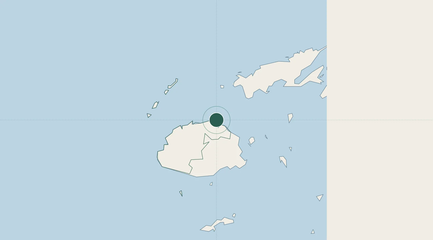
UN/LOCODE hub · Fiji
FJELL

Ellington Wharf

-17.3500°, 178.2167°
1
Transport functions

Transport Functions

Port
UN/LOCODE

Location

Location of FJELL
Natural Earth 10m (public domain) · Western · FJELL · -17.35, 178.22GoogleOSMYandex

Nearby Logistics Neighbours

Cities
  1. 1Vatia Wharf48 km
  2. 2Nambouwalu66 km
  3. 3Wairiki68 km
  4. 4Suva77 km
  5. 5Vuda81 km
Nearest neighbours — logibook spatial index (haversine) over the source coordinates
Ports
  1. 1Lautoka Harbor86 km
  2. 2Suva Harbor90 km
  3. 3Savusavu Bay135 km
  4. 4Funafuti Atoll987 km
  5. 5Port Vila1050 km
Nearest neighbours — logibook spatial index (haversine) over the source coordinates
Airports
  1. 1Levuka Airfield70 km
  2. 2Nausori International Airport85 km
  3. 3Nadi International Airport94 km
  4. 4Yasawa Island Airport97 km
  5. 5Malolo Lailai Island Airport118 km
Nearest neighbours — logibook spatial index (haversine) over the source coordinates
Trade Zones
  1. 1Nausori-Ba Tax-Free Region82 km
  2. 2Kalabu Tax Free Zone87 km
  3. 3Lautoka Special Zone88 km
  4. 4Rotuma-Kadavu Tax-Free Region91 km
  5. 5Vanua Levu Tax-Free Region117 km
Nearest neighbours — logibook spatial index (haversine) over the source coordinates
DatabookThe Record of Consolidated Knowledge
Fiji beyond logistics?
Browse databook

All Sources

LocationsUN/LOCODE
UN/LOCODE — free
Portsthe NGA World Port Index
Public domain (US gov)
AirportsOurAirports
Public domain
Trade Zonesthe World Bank SEZ database
CC BY 4.0
Trade ZonesOpen Zone Map
CC BY
← Fiji locations