Transport Functions
Port
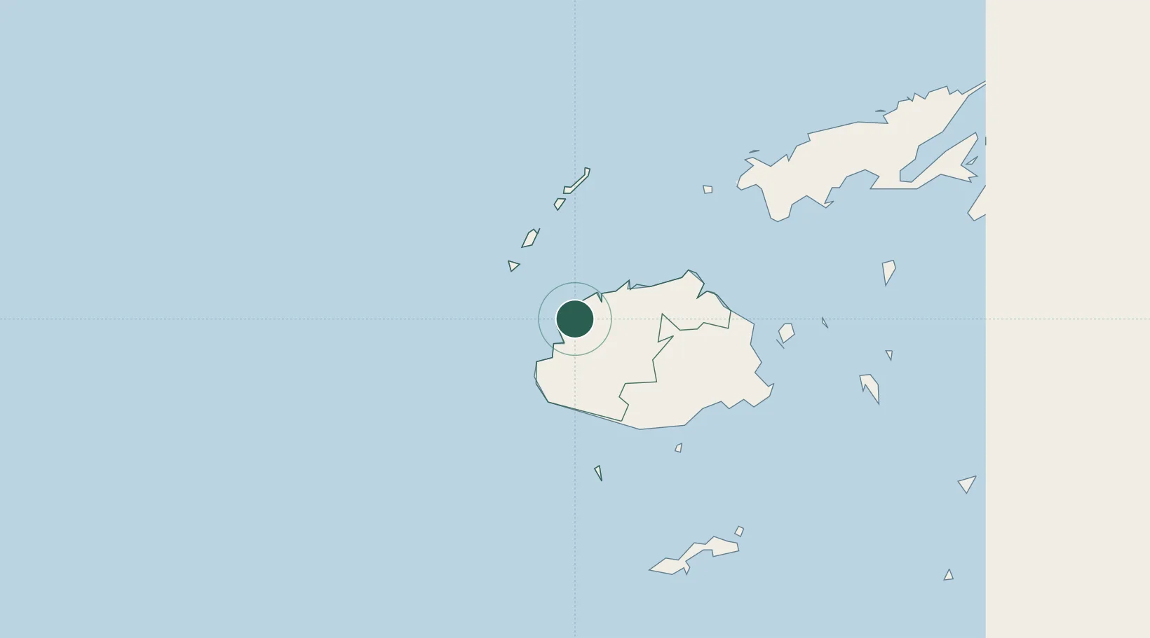
Location
Nearby Logistics Neighbours
Cities
- 1Lautoka7 km
- 2Denarau22 km
- 3Vatia Wharf36 km
- 4Momi42 km
- 5Singatoka63 km
Ports
- 1Lautoka Harbor5 km
- 2Suva Harbor114 km
- 3Savusavu Bay216 km
- 4Port Vila973 km
- 5Funafuti Atoll1025 km
Airports
- 1Nadi International Airport19 km
- 2Malolo Lailai Island Airport38 km
- 3Mana Island Airport43 km
- 4Yasawa Island Airport94 km
- 5Nausori International Airport123 km
Trade Zones
- 1Lautoka Special Zone7 km
- 2Rotuma-Kadavu Tax-Free Region115 km
- 3Kalabu Tax Free Zone117 km
- 4Nausori-Ba Tax-Free Region118 km
- 5Vanua Levu Tax-Free Region194 km
DatabookThe Record of Consolidated Knowledge
Fiji beyond logistics?