Runway & Layout

Airport Specifications
IATA code
LEV
ICAO code
NFNB
Airport class
Small airport
Scheduled service
Yes
Served city
Bureta
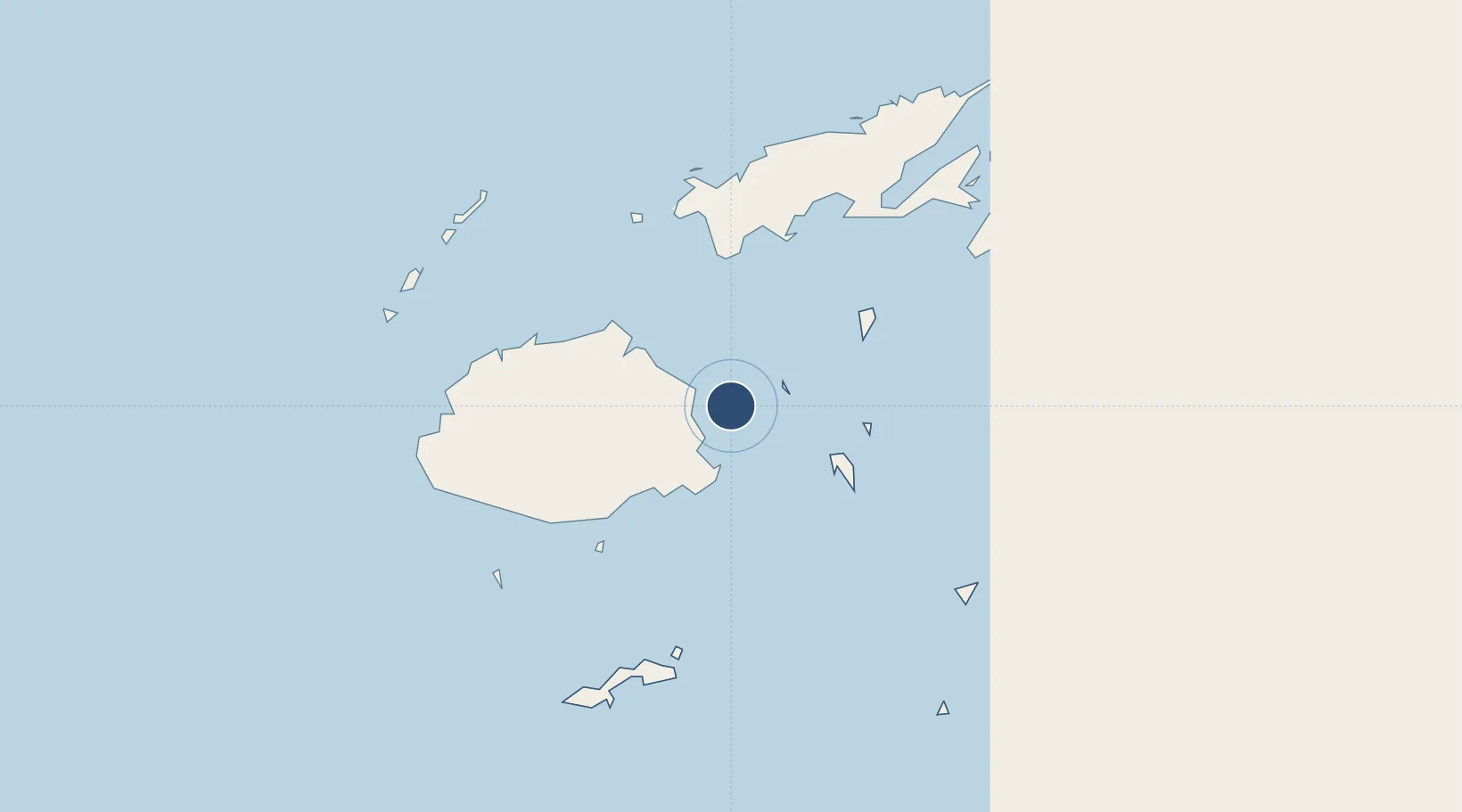
Location
Nearby Logistics Neighbours
Airports
- 1Nausori International Airport43 km
- 2Ngau Airport76 km
- 3Koro Island Airport81 km
- 4Savusavu Airport118 km
- 5Nadi International Airport140 km
Cities
- 1Suva64 km
- 2Ellington Wharf70 km
- 3Nambouwalu81 km
- 4Wairiki89 km
- 5Vatia Wharf111 km
Ports
- 1Suva Harbor59 km
- 2Savusavu Bay121 km
- 3Lautoka Harbor139 km
- 4Funafuti Atoll1023 km
- 5Port Vila1106 km
Trade Zones
- 1Nausori-Ba Tax-Free Region43 km
- 2Kalabu Tax Free Zone51 km
- 3Rotuma-Kadavu Tax-Free Region60 km
- 4Savusavu Industrial Zone120 km
- 5Vanua Levu Tax-Free Region124 km
DatabookThe Record of Consolidated Knowledge
Fiji beyond logistics?