Transport Functions
Port
Road
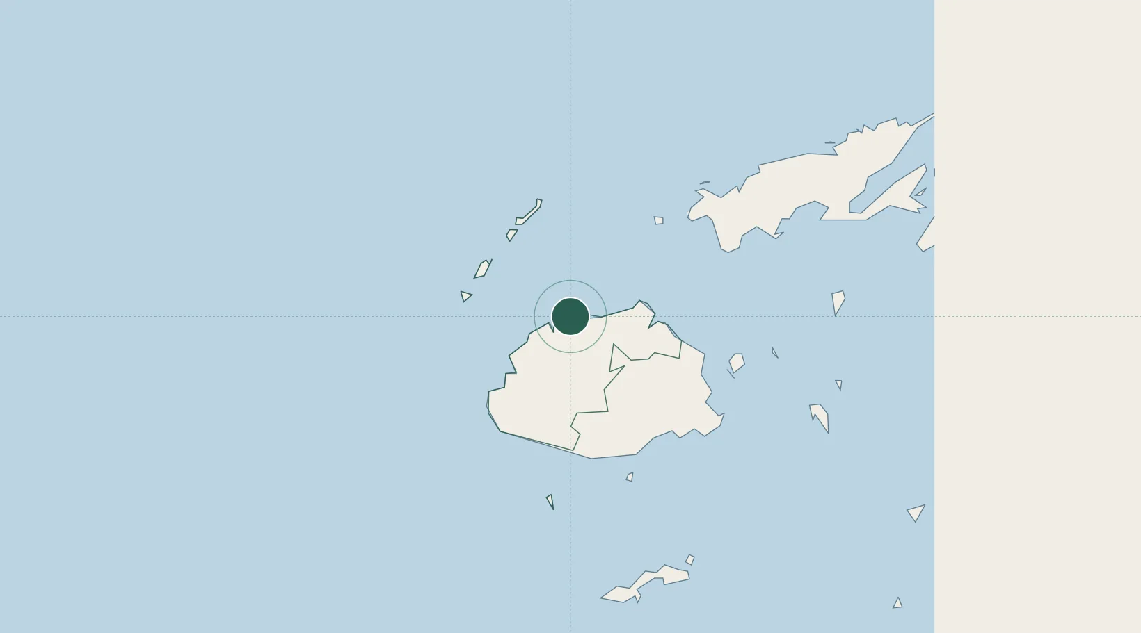
Location
Nearby Logistics Neighbours
Cities
- 1Vuda36 km
- 2Lautoka43 km
- 3Ellington Wharf48 km
- 4Denarau58 km
- 5Momi77 km
Ports
- 1Lautoka Harbor40 km
- 2Suva Harbor107 km
- 3Savusavu Bay181 km
- 4Funafuti Atoll999 km
- 5Port Vila1002 km
Airports
- 1Nadi International Airport53 km
- 2Malolo Lailai Island Airport74 km
- 3Yasawa Island Airport75 km
- 4Mana Island Airport77 km
- 5Nausori International Airport111 km
Trade Zones
- 1Lautoka Special Zone43 km
- 2Nausori-Ba Tax-Free Region106 km
- 3Rotuma-Kadavu Tax-Free Region108 km
- 4Kalabu Tax Free Zone108 km
- 5Vanua Levu Tax-Free Region158 km
DatabookThe Record of Consolidated Knowledge
Fiji beyond logistics?