Transport Functions
Port
Hub Profile
Place type
Populated place
Region
Ostrobothnia
Time zone
Europe/Helsinki
Elevation
10 m
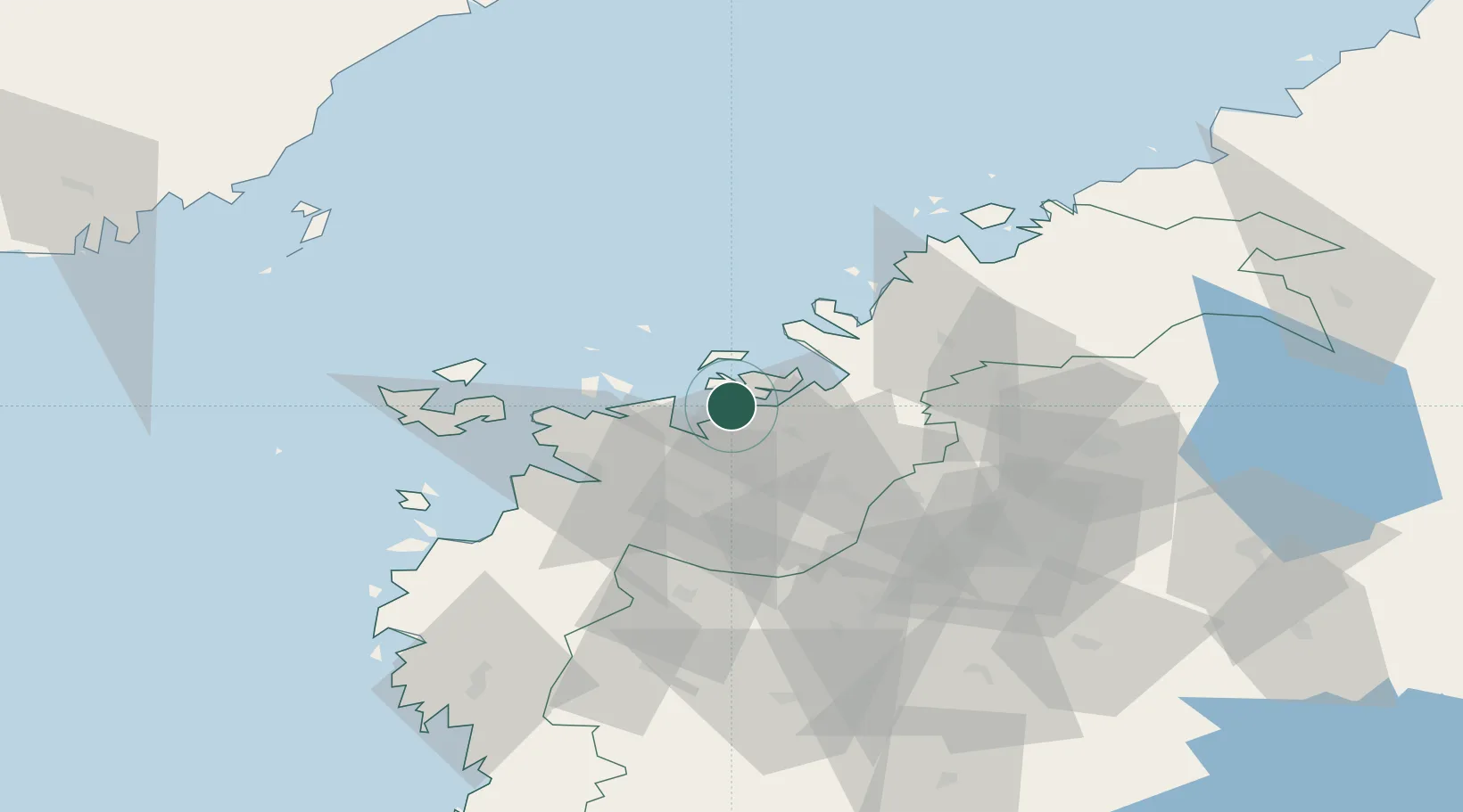
Location
Nearby Logistics Neighbours
Cities
- 1Tervajoki26 km
- 2Vaasa (Vasa)27 km
- 3Vasklot (Vaskiluoto)28 km
- 4Munsala31 km
- 5Replot32 km
Ports
- 1Hellnas11 km
- 2Kantlax24 km
- 3Vaasa28 km
- 4Nykarleby40 km
- 5Pietarsaari59 km
Airports
- 1Vaasa Airport25 km
- 2Kauhava Airfield52 km
- 3Seinäjoki Airport72 km
- 4Kokkola-Pietarsaari Airport77 km
- 5Kauhajoki Airfield87 km
Trade Zones
- 1Oulu Port Free Warehouse Area255 km
- 2Turku Free Zone310 km
- 3Freeport of Hanko381 km
- 4Free Zone of Lappeenranta398 km
- 5Port of Hamina-Kotka400 km
DatabookThe Record of Consolidated Knowledge
Finland beyond logistics?