UN/LOCODE hub · Finland
FIWAS

Vasklot (Vaskiluoto)

63.1000°, 21.5667°
2
Transport functions

Transport Functions

Port
Road
UN/LOCODE

Hub Profile

Region
12
GeoNames

Location

Location of FIWAS
Natural Earth 10m (public domain) · 12 · FIWAS · 63.10, 21.57GoogleOSMYandex

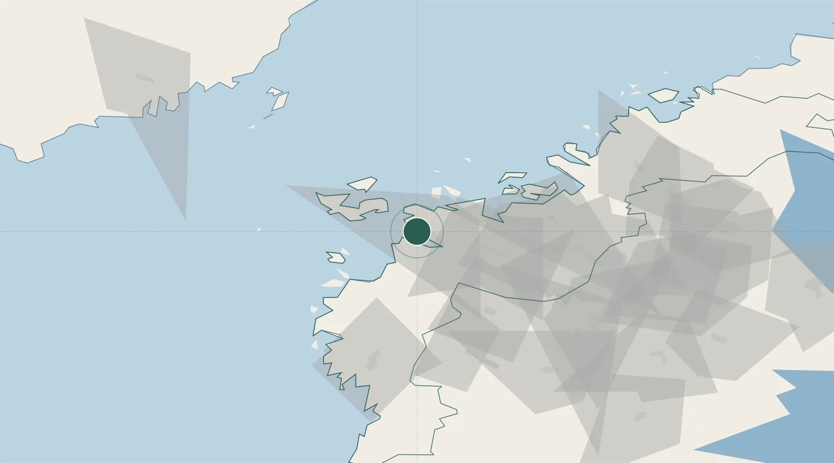
Nearby Logistics Neighbours

Cities
  1. 1Vaasa (Vasa)2 km
  2. 2Kronvik5 km
  3. 3Replot18 km
  4. 4Maalahti (Malax)19 km
  5. 5Tottesund28 km
Nearest neighbours — logibook spatial index (haversine) over the source coordinates
Ports
  1. 1Vaasa1 km
  2. 2Hellnas39 km
  3. 3Kantlax50 km
  4. 4Nykarleby67 km
  5. 5Kaskinen82 km
Nearest neighbours — logibook spatial index (haversine) over the source coordinates
Airports
  1. 1Vaasa Airport11 km
  2. 2Kauhava Airfield75 km
  3. 3Seinäjoki Airport79 km
  4. 4Kauhajoki Airfield82 km
  5. 5Umeå Airport100 km
Nearest neighbours — logibook spatial index (haversine) over the source coordinates
Trade Zones
  1. 1Oulu Port Free Warehouse Area282 km
  2. 2Turku Free Zone297 km
  3. 3Freeport of Hanko370 km
  4. 4Port of Hamina-Kotka406 km
  5. 5Paldiski Free Zone440 km
Nearest neighbours — logibook spatial index (haversine) over the source coordinates
DatabookThe Record of Consolidated Knowledge
Finland beyond logistics?
Browse databook

All Sources

LocationsUN/LOCODE
UN/LOCODE — free
Portsthe NGA World Port Index
Public domain (US gov)
AirportsOurAirports
Public domain
Trade Zonesthe World Bank SEZ database
CC BY 4.0
Trade ZonesOpen Zone Map
CC BY
← Finland locations