UN/LOCODE hub · Finland
FIVAA

Vaasa (Vasa)

63.1000°, 21.6000°
3
Transport functions

Transport Functions

Port
Road
Airport
Vaasa (Vasa) is also a profiled seaport →
UN/LOCODE

Hub Profile

Region
12
GeoNames

Location

Location of FIVAA
Natural Earth 10m (public domain) · 12 · FIVAA · 63.10, 21.60GoogleOSMYandex

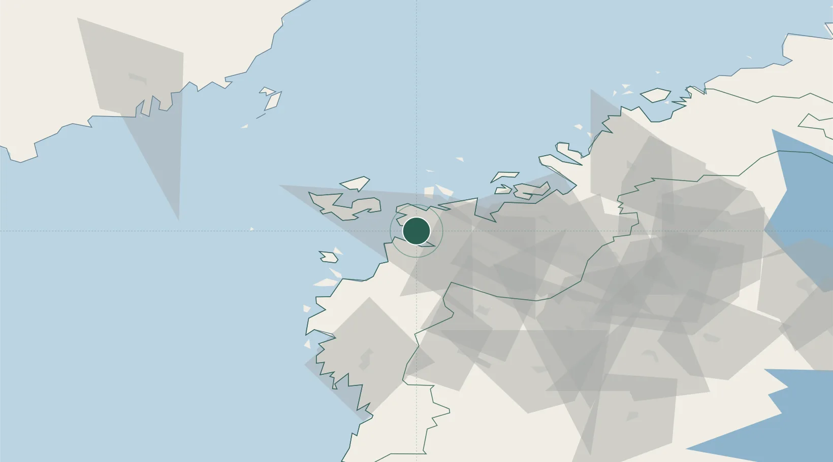
Nearby Logistics Neighbours

Cities
  1. 1Vasklot (Vaskiluoto)2 km
  2. 2Kronvik6 km
  3. 3Maalahti (Malax)19 km
  4. 4Replot19 km
  5. 5Tottesund27 km
Nearest neighbours — logibook spatial index (haversine) over the source coordinates
Ports
  1. 1Hellnas38 km
  2. 2Kantlax49 km
  3. 3Nykarleby66 km
  4. 4Kaskinen82 km
  5. 5Pietarsaari84 km
Nearest neighbours — logibook spatial index (haversine) over the source coordinates
Airports
  1. 1Vaasa Airport10 km
  2. 2Kauhava Airfield73 km
  3. 3Seinäjoki Airport77 km
  4. 4Kauhajoki Airfield81 km
  5. 5Umeå Airport101 km
Nearest neighbours — logibook spatial index (haversine) over the source coordinates
Trade Zones
  1. 1Oulu Port Free Warehouse Area281 km
  2. 2Turku Free Zone297 km
  3. 3Freeport of Hanko370 km
  4. 4Port of Hamina-Kotka405 km
  5. 5Paldiski Free Zone439 km
Nearest neighbours — logibook spatial index (haversine) over the source coordinates
DatabookThe Record of Consolidated Knowledge
Finland beyond logistics?
Browse databook

All Sources

LocationsUN/LOCODE
UN/LOCODE — free
Portsthe NGA World Port Index
Public domain (US gov)
AirportsOurAirports
Public domain
Trade Zonesthe World Bank SEZ database
CC BY 4.0
Trade ZonesOpen Zone Map
CC BY
← Finland locations