Transport Functions
Multimodal
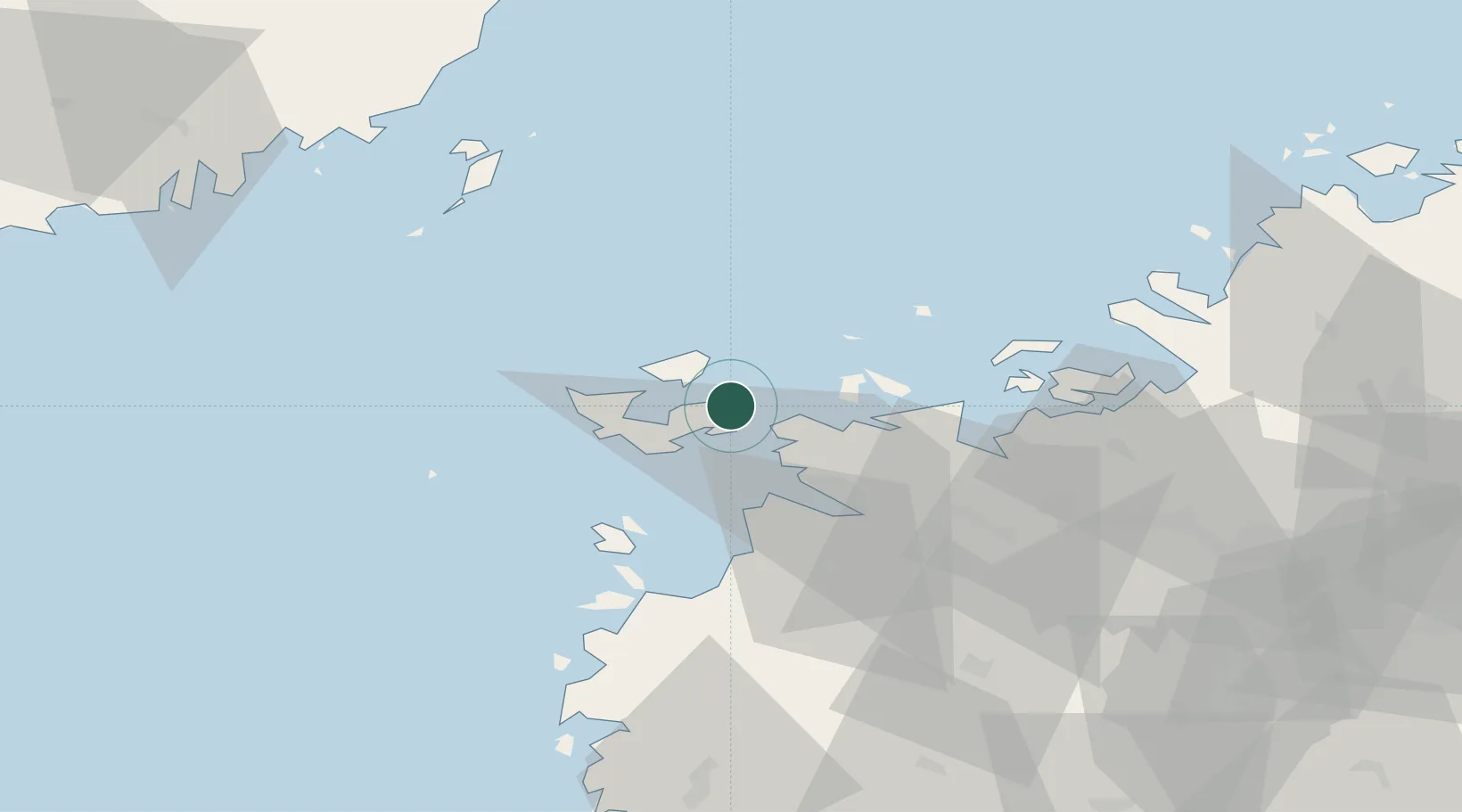
Hub Profile
Place type
Populated place
Region
Ostrobothnia
Population
2,100
Time zone
Europe/Helsinki
Elevation
12 m
Location
Nearby Logistics Neighbours
Cities
- 1Vasklot (Vaskiluoto)18 km
- 2Vaasa (Vasa)19 km
- 3Kronvik21 km
- 4Tottesund32 km
- 5Maalahti (Malax)36 km
Airports
- 1Vaasa Airport28 km
- 2Umeå Airport82 km
- 3Kauhava Airfield83 km
- 4Seinäjoki Airport95 km
- 5Kokkola-Pietarsaari Airport100 km
Trade Zones
- 1Oulu Port Free Warehouse Area274 km
- 2Turku Free Zone315 km
- 3Freeport of Hanko388 km
- 4Port of Hamina-Kotka423 km
- 5Paldiski Free Zone458 km
DatabookThe Record of Consolidated Knowledge
Finland beyond logistics?