Seaport · Finland

PietarsaariFIPRS

63.6833°, 22.6667°
7.9 m
Channel depth
12.8
Port liner connectivity
Pietarsaari is also a UN/LOCODE logistics hub →

Channel & Berth Profile

SEA LEVEL (CD)CHANNEL BEDCargo pier · 4.9 mOil terminal · 4.9 mChannel · 7.9 mAnchorage · 15.5 m
NGA World Port Index

Pilotage, Tugs & Services

Pilotage compulsoryYES
Pilotage availableYES
Pilotage advisableYES
Local assistanceYES
Tug assistanceYES
Potable waterYES
MedicalYES
NGA World Port Index

Facilities & Capabilities

ContainerNO
Ro-RoYES
Liquid bulkYES
Dry bulkYES
Oil terminalNO
Break bulkYES
Dry dock
RepairsNO
BunkeringYES
Rail linkYES
Dangerous cargo
ISPS security
NGA World Port Index

Harbour Specifications

Harbour size
Medium
NGA World Port Index
Harbour type
Coastal (Natural)
NGA World Port Index
Shelter
Poor
NGA World Port Index
Water body
Gulf of Bothnia; Baltic Sea; North Atlantic Ocean
NGA World Port Index
Pilotage
Yes
NGA World Port Index

Liner Connectivity

12.8
PLSCI

Port Liner Shipping Connectivity Index for Pietarsaari, as published by UNCTAD for the latest available quarter. Higher values indicate stronger scheduled liner-shipping integration.

Shown relative to the highest per-port PLSCI in the dataset (1,657.9).
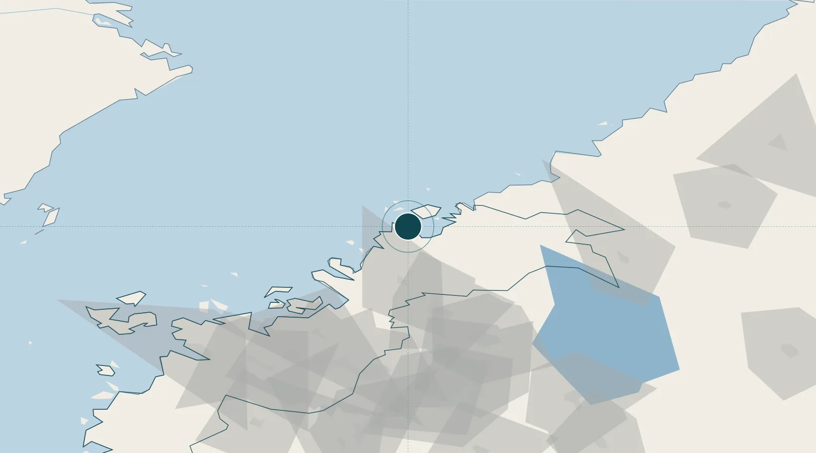
UNCTAD · Port Liner Shipping Connectivity Index

Location

Location of FIPRS
Natural Earth 10m (public domain) · Ostrobothnia · FIPRS · 63.68, 22.67GoogleOSMYandex

Nearby Logistics Neighbours

Ports
  1. 1Nykarleby20 km
  2. 2Kokkola25 km
  3. 3Kantlax35 km
  4. 4Hellnas49 km
  5. 5Himanka60 km
Nearest neighbours — logibook spatial index (haversine) over the source coordinates
Cities
  1. 1Alholmen3 km
  2. 2Pännäinen11 km
  3. 3Kållby (Kolppi)12 km
  4. 4Nykarleby (Uusikaarlepyy)18 km
  5. 5Yxpila25 km
Nearest neighbours — logibook spatial index (haversine) over the source coordinates
Airports
  1. 1Kokkola-Pietarsaari Airport24 km
  2. 2Kauhava Airfield65 km
  3. 3Vaasa Airport84 km
  4. 4Ylivieska Airfield109 km
  5. 5Seinäjoki Airport111 km
Nearest neighbours — logibook spatial index (haversine) over the source coordinates
Trade Zones
  1. 1Oulu Port Free Warehouse Area197 km
  2. 2Turku Free Zone361 km
  3. 3Free Zone of Lappeenranta406 km
  4. 4Port of Hamina-Kotka421 km
  5. 5Freeport of Hanko429 km
Nearest neighbours — logibook spatial index (haversine) over the source coordinates
DatabookThe Record of Consolidated Knowledge
Finland beyond logistics?
Browse databook

All Sources

Portsthe NGA World Port Index
Public domain (US gov)
Logistics performanceUNCTAD
CC BY 3.0 IGO
AirportsOurAirports
Public domain
LocationsUN/LOCODE
UN/LOCODE — free
Trade Zonesthe World Bank SEZ database
CC BY 4.0
Trade ZonesOpen Zone Map
CC BY
← Finland ports