UN/LOCODE hub · Finland
FIKRO

Kronvik

63.0667°, 21.5167°
1
Transport functions

Transport Functions

Port
UN/LOCODE

Hub Profile

Place type
Populated place
GeoNames
Region
Ostrobothnia
GeoNames
Time zone
Europe/Helsinki
GeoNames
Elevation
6 m
GeoNames

Location

Location of FIKRO
Natural Earth 10m (public domain) · Ostrobothnia · FIKRO · 63.07, 21.52GoogleOSMYandex

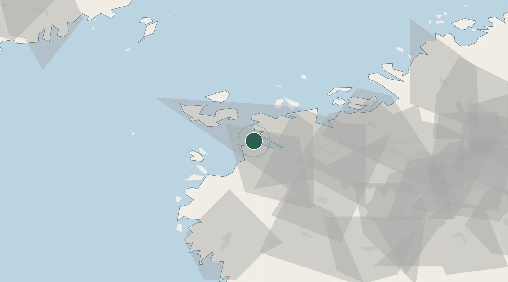
Nearby Logistics Neighbours

Cities
  1. 1Vasklot (Vaskiluoto)5 km
  2. 2Vaasa (Vasa)6 km
  3. 3Maalahti (Malax)15 km
  4. 4Replot21 km
  5. 5Tervajoki32 km
Nearest neighbours — logibook spatial index (haversine) over the source coordinates
Ports
  1. 1Vaasa5 km
  2. 2Hellnas43 km
  3. 3Kantlax55 km
  4. 4Nykarleby71 km
  5. 5Kaskinen77 km
Nearest neighbours — logibook spatial index (haversine) over the source coordinates
Airports
  1. 1Vaasa Airport13 km
  2. 2Kauhava Airfield78 km
  3. 3Seinäjoki Airport79 km
  4. 4Kauhajoki Airfield81 km
  5. 5Umeå Airport101 km
Nearest neighbours — logibook spatial index (haversine) over the source coordinates
Trade Zones
  1. 1Oulu Port Free Warehouse Area286 km
  2. 2Turku Free Zone294 km
  3. 3Freeport of Hanko367 km
  4. 4Port of Hamina-Kotka406 km
  5. 5Paldiski Free Zone437 km
Nearest neighbours — logibook spatial index (haversine) over the source coordinates
DatabookThe Record of Consolidated Knowledge
Finland beyond logistics?
Browse databook

All Sources

LocationsUN/LOCODE
UN/LOCODE — free
Portsthe NGA World Port Index
Public domain (US gov)
AirportsOurAirports
Public domain
Trade Zonesthe World Bank SEZ database
CC BY 4.0
Trade ZonesOpen Zone Map
CC BY
← Finland locations