Large airport · Sweden
Umeå AirportESNU
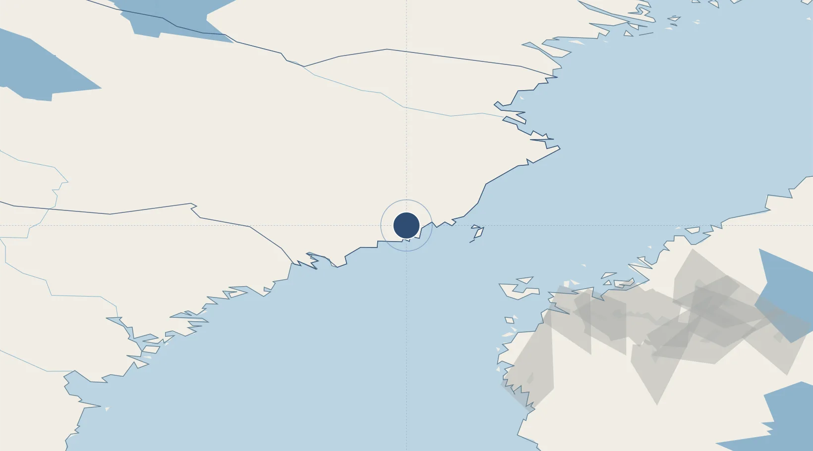
63.7918°, 20.2828°
7,551 ft
Longest runway
1
Runways
24 ft
Elevation
Runway & Layout

Radio Frequencies
TWR
119.8 MHz
Navaids
UME VOR-DME Umea 114.10 MHz
Runways · 1
| Runway | Dimensions | Surface | True heading | Lit |
|---|---|---|---|---|
| 14/32 | 7,551 × 148ft | Asphalt | 138° | ✓ |
Airport Specifications
IATA code
UME
ICAO code
ESNU
Airport class
Large airport
Scheduled service
Yes
Runway surface
Asphalt
Served city
Umeå
Location
Nearby Logistics Neighbours
Airports
- 1Örnsköldsvik Airport77 km
- 2Skellefteå Airport100 km
- 3Vaasa Airport111 km
- 4Lycksele Airport113 km
- 5Kokkola-Pietarsaari Airport141 km
Cities
- 1Umeå11 km
- 2Hörnefors26 km
- 3Vännäs30 km
- 4Nordmaling45 km
- 5Rundvik51 km
Ports
- 1Obbola11 km
- 2Umea Hamn11 km
- 3Nordmaling47 km
- 4Rundvik50 km
- 5Husum76 km
Trade Zones
- 1Oulu Port Free Warehouse Area281 km
- 2Turku Free Zone386 km
- 3Freeport of Hanko461 km
- 4Port of Hamina-Kotka506 km
- 5Stockholm Free Zone507 km
DatabookThe Record of Consolidated Knowledge
Sweden beyond logistics?