UN/LOCODE hub · Finland
FIMLX

Maalahti (Malax)

62.9333°, 21.5667°
2
Transport functions

Transport Functions

Road
Multimodal
UN/LOCODE

Hub Profile

Region
12
GeoNames

Location

Location of FIMLX
Natural Earth 10m (public domain) · 12 · FIMLX · 62.93, 21.57GoogleOSMYandex

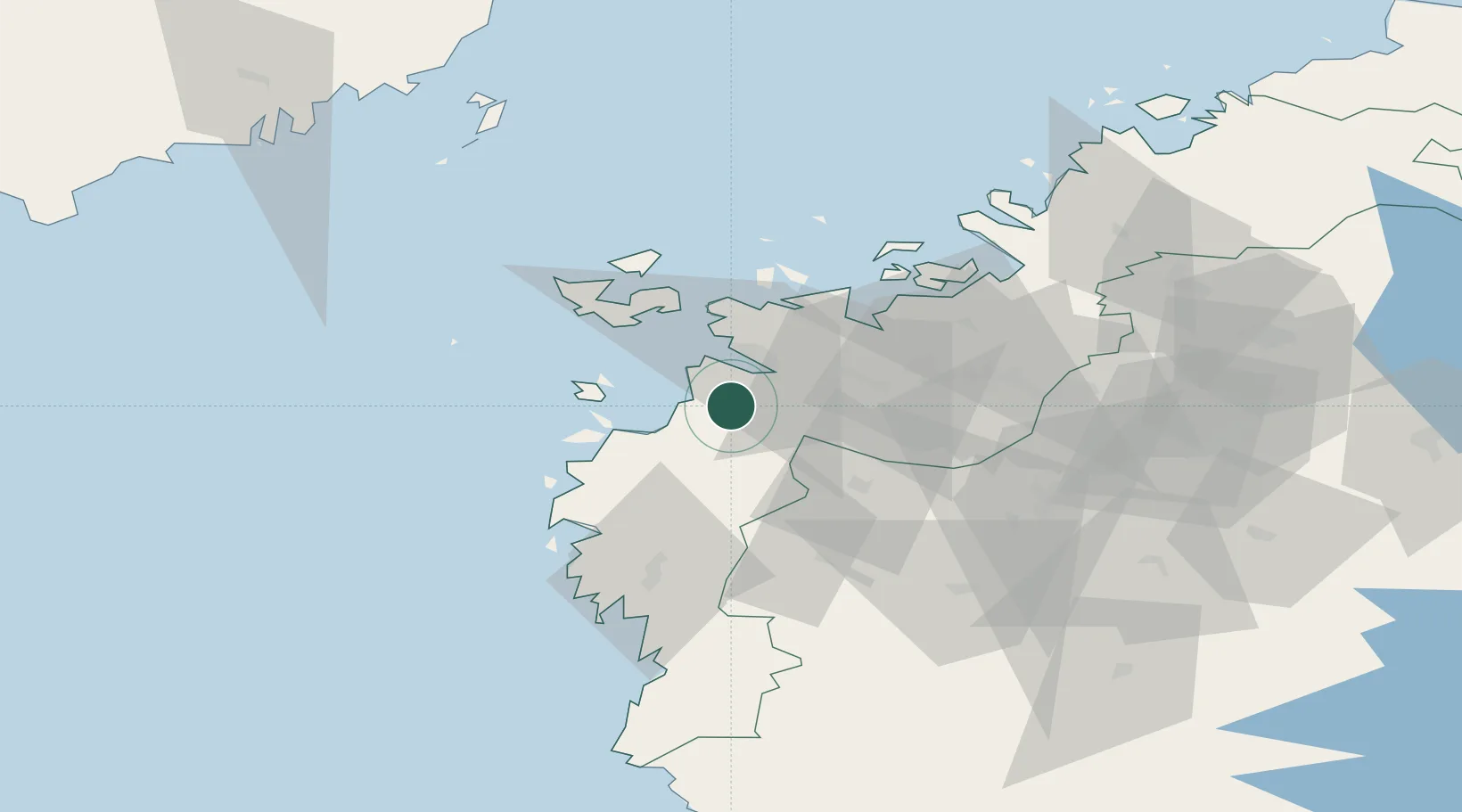
Nearby Logistics Neighbours

Cities
  1. 1Kronvik15 km
  2. 2Vasklot (Vaskiluoto)19 km
  3. 3Vaasa (Vasa)19 km
  4. 4Kylanpää26 km
  5. 5Tervajoki30 km
Nearest neighbours — logibook spatial index (haversine) over the source coordinates
Ports
  1. 1Vaasa19 km
  2. 2Hellnas51 km
  3. 3Kaskinen64 km
  4. 4Kantlax65 km
  5. 5Kristinestad73 km
Nearest neighbours — logibook spatial index (haversine) over the source coordinates
Airports
  1. 1Vaasa Airport16 km
  2. 2Kauhajoki Airfield67 km
  3. 3Seinäjoki Airport70 km
  4. 4Kauhava Airfield78 km
  5. 5Umeå Airport115 km
Nearest neighbours — logibook spatial index (haversine) over the source coordinates
Trade Zones
  1. 1Turku Free Zone279 km
  2. 2Oulu Port Free Warehouse Area296 km
  3. 3Freeport of Hanko352 km
  4. 4Port of Hamina-Kotka394 km
  5. 5Paldiski Free Zone422 km
Nearest neighbours — logibook spatial index (haversine) over the source coordinates
DatabookThe Record of Consolidated Knowledge
Finland beyond logistics?
Browse databook

All Sources

LocationsUN/LOCODE
UN/LOCODE — free
Portsthe NGA World Port Index
Public domain (US gov)
AirportsOurAirports
Public domain
Trade Zonesthe World Bank SEZ database
CC BY 4.0
Trade ZonesOpen Zone Map
CC BY
← Finland locations