Transport Functions
Port
Hub Profile
Region
18
Logistics facilities
1
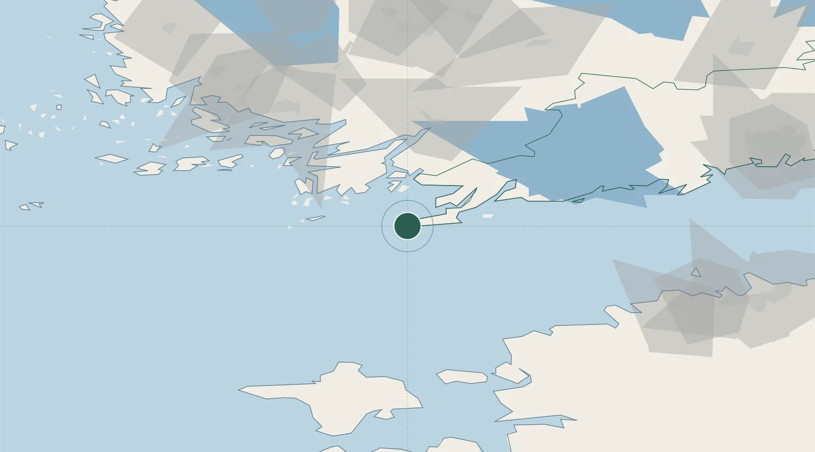
Location
Nearby Logistics Neighbours
Cities
- 1Tvärminne13 km
- 2Koverhaara (Koverhar)15 km
- 3Bromarv18 km
- 4Lappohja (Lappvik)18 km
- 5Tessvär26 km
Airports
- 1Turku Airport86 km
- 2Kärdla Airport93 km
- 3Ämari Air Base94 km
- 4Tallinn Linnahall Heliport109 km
- 5Lennart Meri Tallinn Airport115 km
Trade Zones
- 1Freeport of Hanko4 km
- 2Turku Free Zone81 km
- 3Paldiski Free Zone83 km
- 4Muuga Free Zone130 km
- 5Port of Hamina-Kotka232 km
DatabookThe Record of Consolidated Knowledge
Finland beyond logistics?