Transport Functions
Port
Road
Hub Profile
Region
18
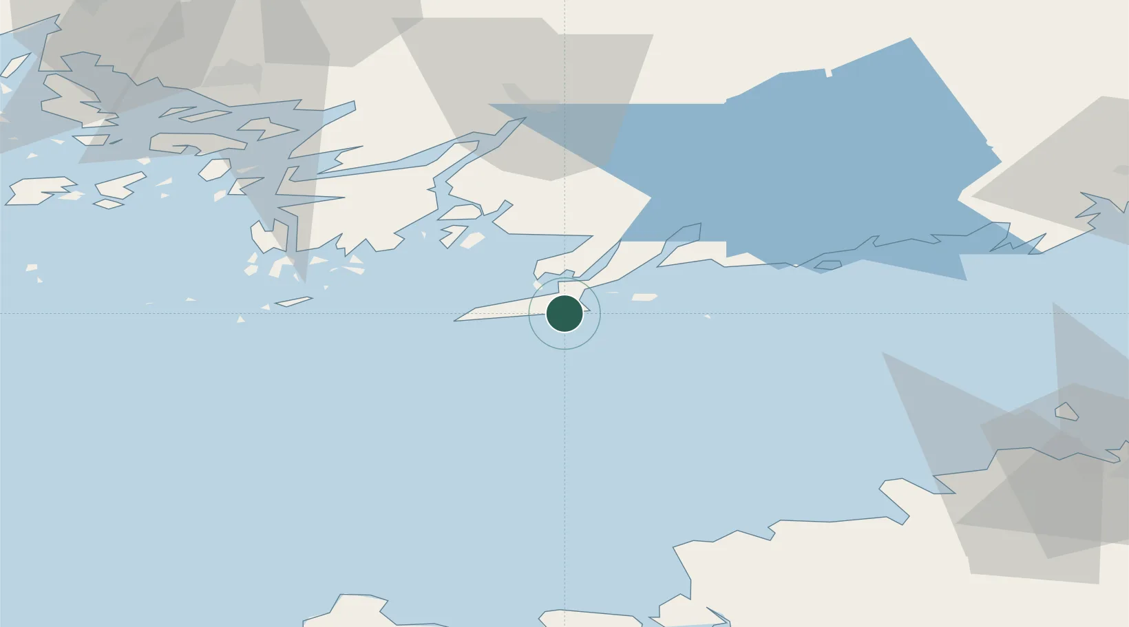
Location
Nearby Logistics Neighbours
Cities
- 1Koverhaara (Koverhar)4 km
- 2Lappohja (Lappvik)8 km
- 3Hangö (Hanko)13 km
- 4Skutviken16 km
- 5Gullö18 km
Airports
- 1Ämari Air Base86 km
- 2Turku Airport91 km
- 3Kärdla Airport96 km
- 4Tallinn Linnahall Heliport98 km
- 5Lennart Meri Tallinn Airport104 km
Trade Zones
- 1Freeport of Hanko17 km
- 2Paldiski Free Zone75 km
- 3Turku Free Zone87 km
- 4Muuga Free Zone119 km
- 5Port of Hamina-Kotka220 km
DatabookThe Record of Consolidated Knowledge
Finland beyond logistics?