Transport Functions
Multimodal
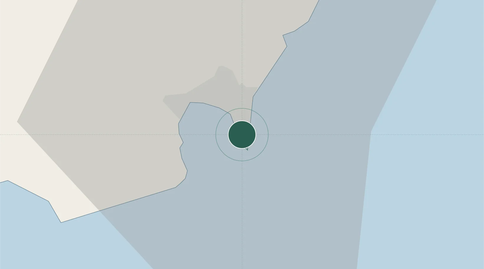
Hub Profile
Place type
Urban district
Time zone
Europe/Gibraltar
Elevation
5 m
Location
Nearby Logistics Neighbours
Cities
- 1Algeciras9 km
- 2Sotogrande17 km
- 3Guadiaro19 km
- 4Ceuta26 km
- 5Tanger Med35 km
Ports
- 1Algeciras8 km
- 2Ceuta26 km
- 3Tangier-Mediterranean30 km
- 4Tanger57 km
- 5Cadiz96 km
Airports
- 1Gibraltar Airport2 km
- 2Algeciras Heliport8 km
- 3Ceuta Heliport27 km
- 4Sania Ramel Airport60 km
- 5Tangier Ibn Battuta Airport68 km
Trade Zones
DatabookThe Record of Consolidated Knowledge
Gibraltar beyond logistics?