Heliport · Spain

Algeciras HeliportAEI

36.1288°, -5.4411°
98 ft
Elevation

Runway & Layout

Algeciras Heliport runway & taxiway layout
Runway & taxiway layout — OpenStreetMap (ODbL) / OurAirports

Airport Specifications
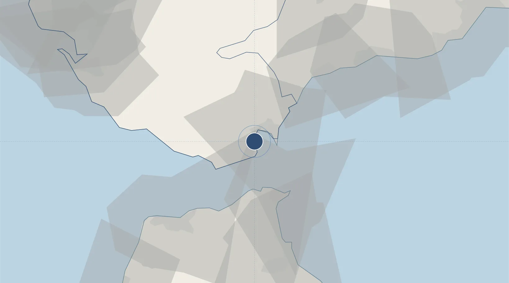
ICAO code
LEAG
OurAirports
Airport class
Heliport
OurAirports
Scheduled service
Yes
OurAirports
Served city
Algeciras
OurAirports

Location

Location of AEI
Natural Earth 10m (public domain) · Cádiz · AEI · 36.13, -5.44GoogleOSMYandex

Nearby Logistics Neighbours

Airports
  1. 1Gibraltar Airport9 km
  2. 2Ceuta Heliport29 km
  3. 3Sania Ramel Airport60 km
  4. 4Tangier Ibn Battuta Airport62 km
  5. 5Tomás Fernández Espada Airfield85 km
Nearest neighbours — logibook spatial index (haversine) over the source coordinates
Cities
  1. 1Algeciras2 km
  2. 2Waterport8 km
  3. 3Sotogrande21 km
  4. 4Guadiaro23 km
  5. 5Ceuta28 km
Nearest neighbours — logibook spatial index (haversine) over the source coordinates
Ports
  1. 1Algeciras1 km
  2. 2Tangier-Mediterranean26 km
  3. 3Ceuta28 km
  4. 4Tanger51 km
  5. 5Cadiz89 km
Nearest neighbours — logibook spatial index (haversine) over the source coordinates
Trade Zones
  1. 1Depósito Franco de Algeciras1 km
  2. 2Autonomous City of Ceuta29 km
  3. 3Tanger Med Ksar el Majaz Mellousa Freeport34 km
  4. 4Tanger Automotive City53 km
  5. 5Tetouan Shore Industrial Park55 km
Nearest neighbours — logibook spatial index (haversine) over the source coordinates
DatabookThe Record of Consolidated Knowledge
Spain beyond logistics?
Browse databook

All Sources

AirportsOurAirports
Public domain
Portsthe NGA World Port Index
Public domain (US gov)
LocationsUN/LOCODE
UN/LOCODE — free
Trade Zonesthe World Bank SEZ database
CC BY 4.0
Trade ZonesOpen Zone Map
CC BY
InfrastructureOpenStreetMap
ODbL 1.0
← Spain airports