Transport Functions
Rail
Road
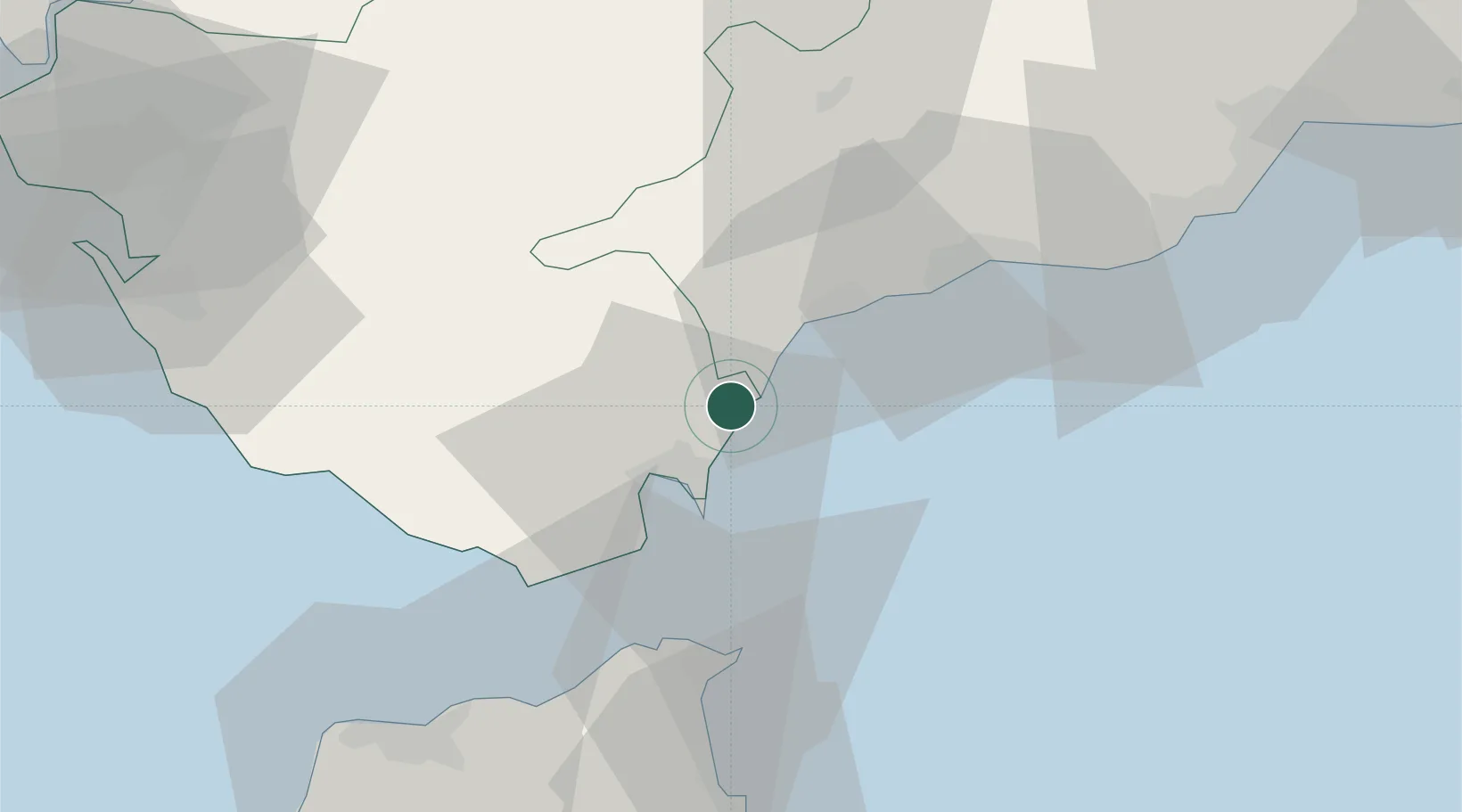
Hub Profile
Place type
Populated place
Region
Andalusia
Population
184
Time zone
Europe/Madrid
Elevation
14 m
Location
Nearby Logistics Neighbours
Cities
- 1Guadiaro2 km
- 2Waterport17 km
- 3Algeciras20 km
- 4Nueva Andalucia40 km
- 5Tahivilla42 km
Ports
- 1Algeciras21 km
- 2Ceuta43 km
- 3Tangier-Mediterranean47 km
- 4Tanger73 km
- 5Malaga93 km
Airports
- 1Gibraltar Airport15 km
- 2Algeciras Heliport21 km
- 3Ceuta Heliport43 km
- 4Tomás Fernández Espada Airfield73 km
- 5Sania Ramel Airport77 km
Trade Zones
DatabookThe Record of Consolidated Knowledge
Spain beyond logistics?