Large airport · Morocco

Tangier Ibn Battuta AirportGMTT
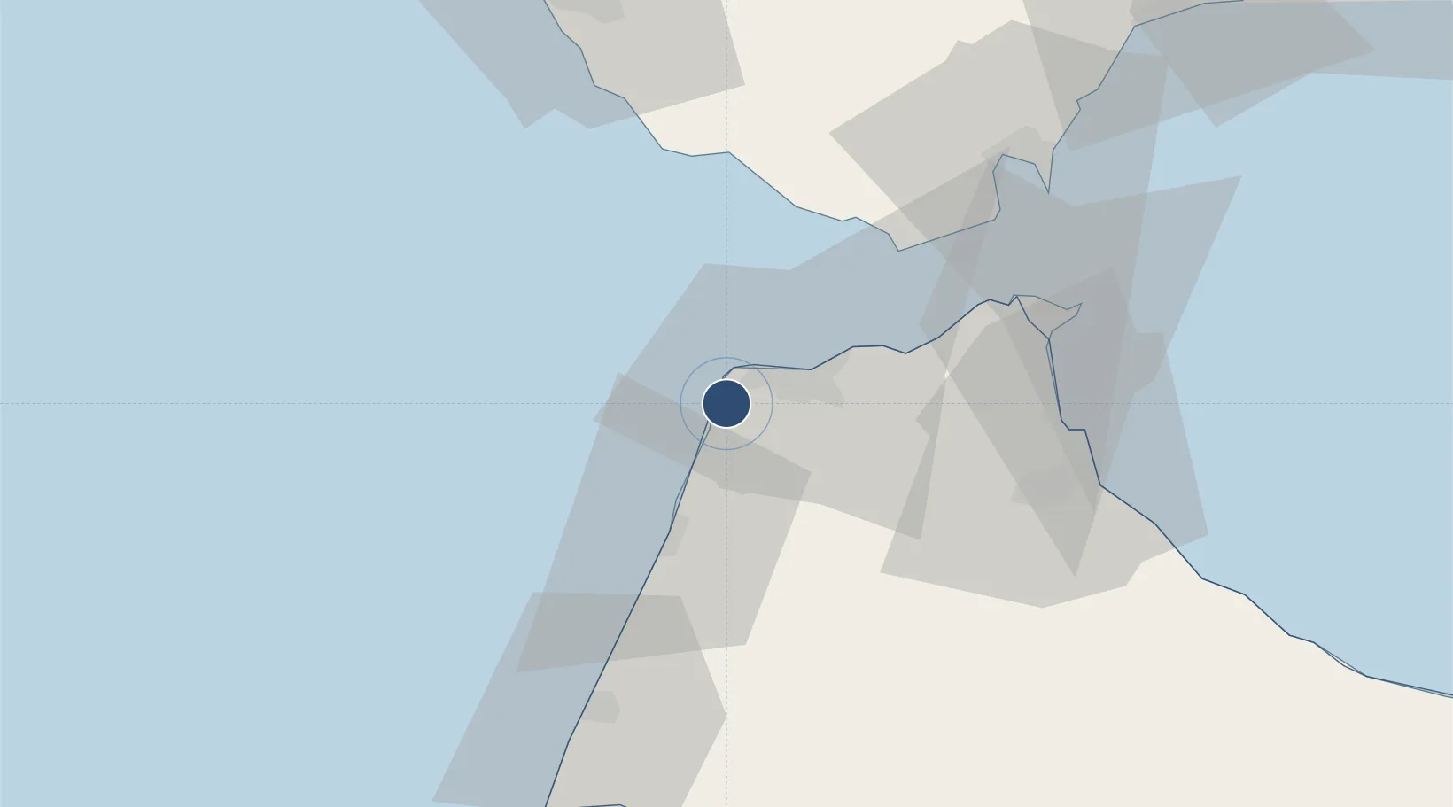
35.7317°, -5.9215°
11,483 ft
Longest runway
1
Runways
62 ft
Elevation

Runway & Layout

Tangier Ibn Battuta Airport runway & taxiway layout
Runway & taxiway layout — OpenStreetMap (ODbL) / OurAirports

Radio Frequencies

TWR
119.5 MHz
TANGER TWR
APP
121.2 MHz
TANGER APP
OurAirports

Navaids

TNG VOR-DME Tanger 115.90 MHz
OurAirports

Runways · 1

RunwayDimensions SurfaceTrue headingLit
10/28 11,483 × 148ft Asphalt 096°
OurAirports

Airport Specifications

IATA code
TNG
OurAirports
ICAO code
GMTT
OurAirports
Airport class
Large airport
OurAirports
Scheduled service
Yes
OurAirports
Runway surface
Asphalt
OurAirports
Served city
Tangier
OurAirports

Location

Location of GMTT
Natural Earth 10m (public domain) · Tanger - Tétouan · GMTT · 35.73, -5.92GoogleOSMYandex

Nearby Logistics Neighbours

Airports
  1. 1Sania Ramel Airport56 km
  2. 2Ceuta Heliport58 km
  3. 3Algeciras Heliport62 km
  4. 4Gibraltar Airport70 km
  5. 5Rota Naval Station Airport109 km
Nearest neighbours — logibook spatial index (haversine) over the source coordinates
Cities
  1. 1Tangier11 km
  2. 2Tanger Med37 km
  3. 3Zahara de los Atunes45 km
  4. 4Barbate50 km
  5. 5Tétouan52 km
Nearest neighbours — logibook spatial index (haversine) over the source coordinates
Ports
  1. 1Tanger11 km
  2. 2Tangier-Mediterranean41 km
  3. 3Ceuta58 km
  4. 4Algeciras63 km
  5. 5Cadiz95 km
Nearest neighbours — logibook spatial index (haversine) over the source coordinates
Trade Zones
  1. 1Tanger Free Export Zone2 km
  2. 2Tanger Automotive City22 km
  3. 3Tanger Med Ksar el Majaz Mellousa Freeport35 km
  4. 4Tetouan Shore Industrial Park56 km
  5. 5Autonomous City of Ceuta57 km
Nearest neighbours — logibook spatial index (haversine) over the source coordinates
DatabookThe Record of Consolidated Knowledge
Morocco beyond logistics?
Browse databook

All Sources

AirportsOurAirports
Public domain
Portsthe NGA World Port Index
Public domain (US gov)
LocationsUN/LOCODE
UN/LOCODE — free
Trade Zonesthe World Bank SEZ database
CC BY 4.0
Trade ZonesOpen Zone Map
CC BY
InfrastructureOpenStreetMap
ODbL 1.0
← Morocco airports