UN/LOCODE hub · Spain
ESCEU
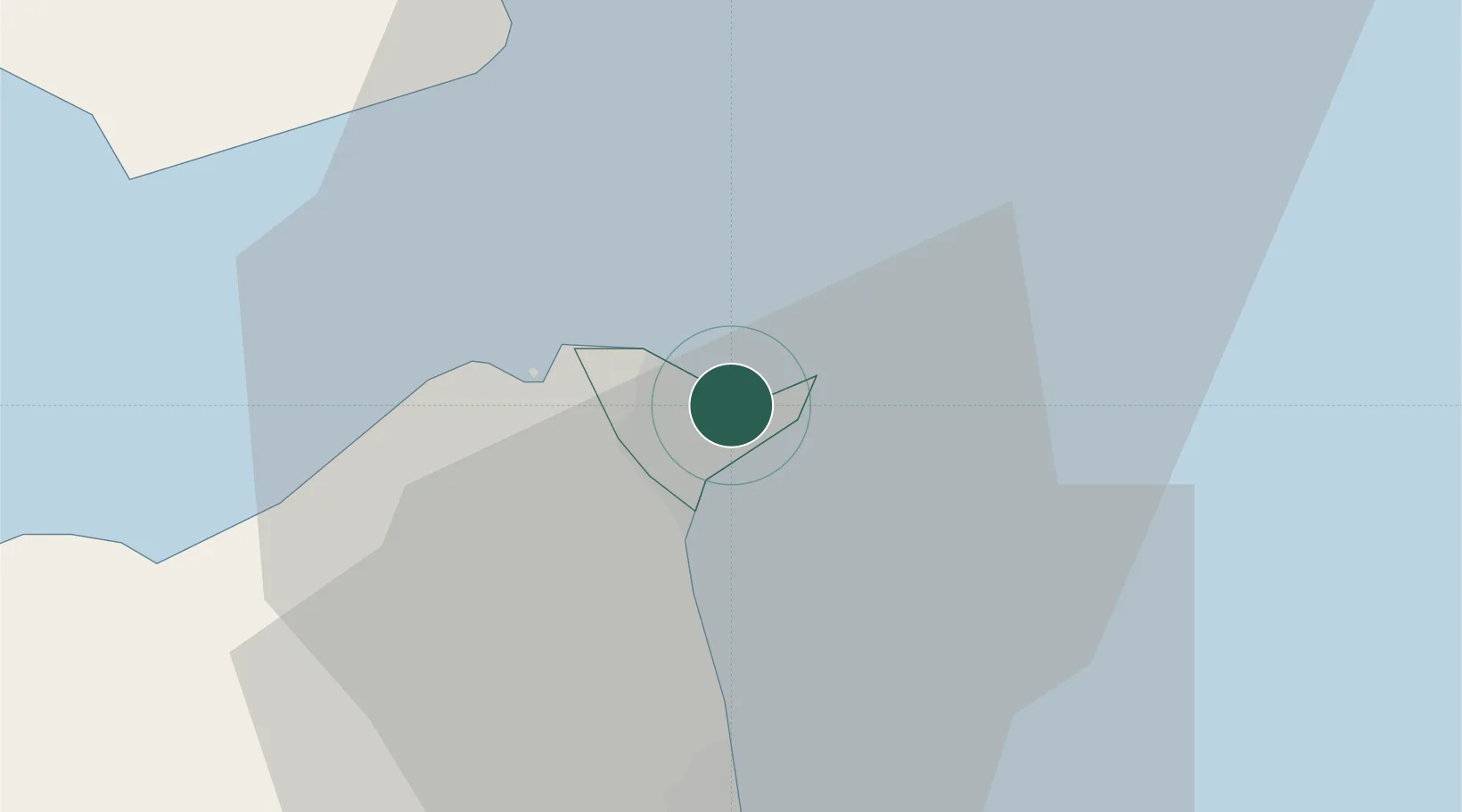
Ceuta
35.8978°, -5.3239°
83,179
Population
1
Transport functions
1
Container terminals
Transport Functions
Port
Hub Profile
Place type
Regional capital
Region
Ceuta
Population
83,179
Time zone
Europe/Madrid
Elevation
22 m
Logistics facilities
1
Container terminals
1
Location
Nearby Logistics Neighbours
Cities
- 1Tanger Med20 km
- 2Waterport26 km
- 3Algeciras30 km
- 4Tétouan37 km
- 5Sotogrande43 km
Ports
- 1Tangier-Mediterranean17 km
- 2Algeciras28 km
- 3Tanger46 km
- 4Cadiz113 km
- 5Rota121 km
Airports
- 1Ceuta Heliport2 km
- 2Algeciras Heliport28 km
- 3Gibraltar Airport28 km
- 4Sania Ramel Airport34 km
- 5Tangier Ibn Battuta Airport57 km
Trade Zones
DatabookThe Record of Consolidated Knowledge
Spain beyond logistics?