Free Trade Zone · Morocco

Tanger Automotive City Active
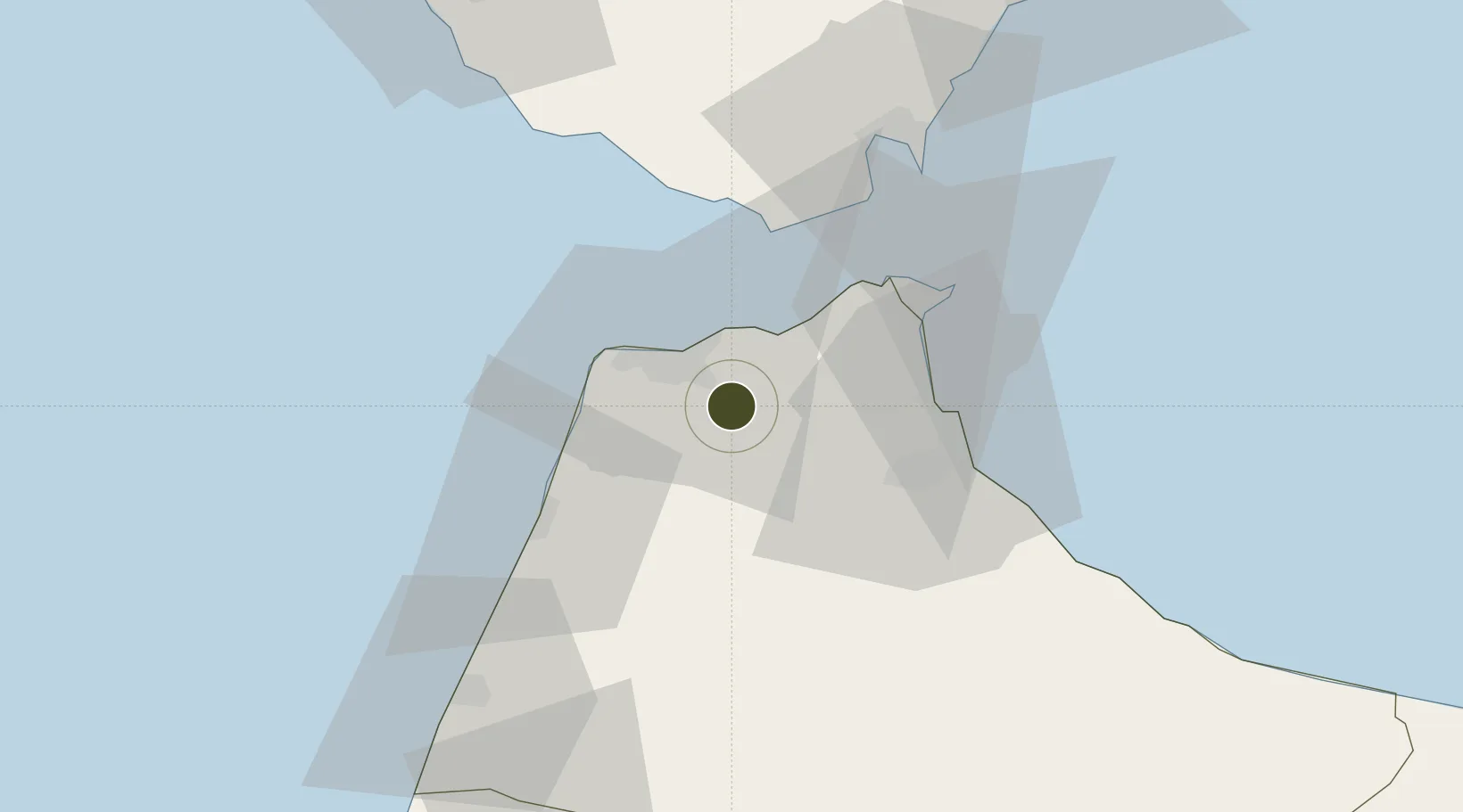
35.6946°, -5.6818°
300 ha
Zone area
15.7 km
Nearest port
22.0 km
Nearest airport

Gateway access

Nearest neighbours — logibook spatial index (haversine) over the source coordinates

Zone profile

Zone type
Free Trade Zone
Open Zone Map
Region
Tanger - Tétouan
Open Zone Map
Status
Active
Open Zone Map
Management
Private
Open Zone Map
Operator
Tanger Med Zones
Open Zone Map
Legal framework
Dahir No. 1-95-1 dated January 26, 1995
Open Zone Map

Location

Location of ozm-2875
Natural Earth 10m (public domain) · Tanger - Tétouan · ozm-2875 · 35.69, -5.68GoogleOSMYandex

Nearby Logistics Neighbours

Ports
  1. 1Tanger16 km
  2. 2Tangier-Mediterranean27 km
  3. 3Ceuta40 km
  4. 4Algeciras54 km
  5. 5Cadiz109 km
Nearest neighbours — logibook spatial index (haversine) over the source coordinates
Airports
  1. 1Tangier Ibn Battuta Airport22 km
  2. 2Sania Ramel Airport35 km
  3. 3Ceuta Heliport40 km
  4. 4Algeciras Heliport53 km
  5. 5Gibraltar Airport59 km
Nearest neighbours — logibook spatial index (haversine) over the source coordinates
Cities
  1. 1Tangier16 km
  2. 2Tanger Med22 km
  3. 3Tétouan31 km
  4. 4Ceuta39 km
  5. 5Zahara de los Atunes51 km
Nearest neighbours — logibook spatial index (haversine) over the source coordinates
Trade Zones
  1. 1Tanger Med Ksar el Majaz Mellousa Freeport20 km
  2. 2Tanger Free Export Zone21 km
  3. 3Tetouan Shore Industrial Park34 km
  4. 4Autonomous City of Ceuta39 km
  5. 5Depósito Franco de Algeciras53 km
Nearest neighbours — logibook spatial index (haversine) over the source coordinates
DatabookThe Record of Consolidated Knowledge
Morocco beyond logistics?
Browse databook

All Sources

Trade ZonesOpen Zone Map
CC BY
Portsthe NGA World Port Index
Public domain (US gov)
AirportsOurAirports
Public domain
LocationsUN/LOCODE
UN/LOCODE — free
← Morocco trade zones