UN/LOCODE hub · Spain
ESALG
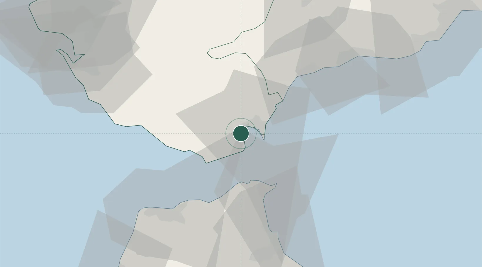
Algeciras
36.1450°, -5.4496°
121,414
Population
1
Transport functions
2
Container terminals
Transport Functions
Port
Hub Profile
Place type
District seat
Region
Andalusia
Population
121,414
Time zone
Europe/Madrid
Elevation
29 m
Logistics facilities
12
Container terminals
2
Location
Nearby Logistics Neighbours
Cities
- 1Waterport9 km
- 2Sotogrande20 km
- 3Guadiaro22 km
- 4Tahivilla27 km
- 5Ceuta30 km
Ports
- 1Tangier-Mediterranean28 km
- 2Ceuta30 km
- 3Tanger52 km
- 4Cadiz88 km
- 5Rota95 km
Airports
- 1Algeciras Heliport2 km
- 2Gibraltar Airport9 km
- 3Ceuta Heliport31 km
- 4Sania Ramel Airport62 km
- 5Tangier Ibn Battuta Airport63 km
Trade Zones
DatabookThe Record of Consolidated Knowledge
Spain beyond logistics?