UN/LOCODE hub · Morocco
MAPTM
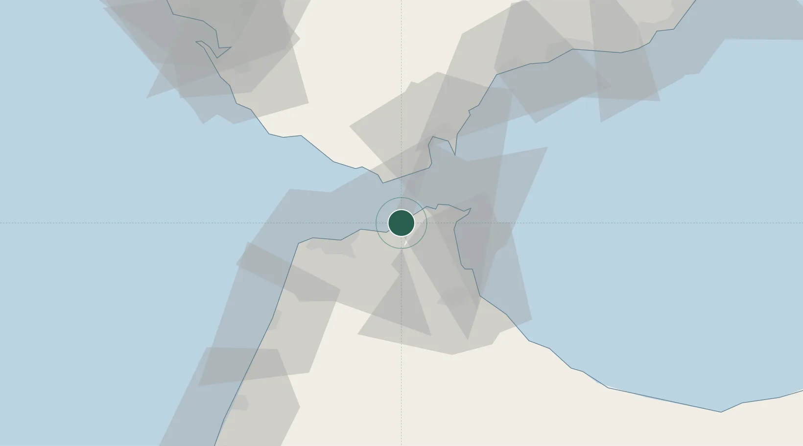
Tanger Med
35.8569°, -5.5424°
3
Transport functions
4
Container terminals
Transport Functions
Port
Rail
Road
Hub Profile
Region
TNG
Logistics facilities
7
Container terminals
4
Location
Nearby Logistics Neighbours
Airports
- 1Ceuta Heliport22 km
- 2Algeciras Heliport32 km
- 3Sania Ramel Airport35 km
- 4Tangier Ibn Battuta Airport37 km
- 5Gibraltar Airport37 km
Trade Zones
DatabookThe Record of Consolidated Knowledge
Morocco beyond logistics?