Free Trade Zone · Morocco

Tanger Med Ksar el Majaz Mellousa Freeport Active
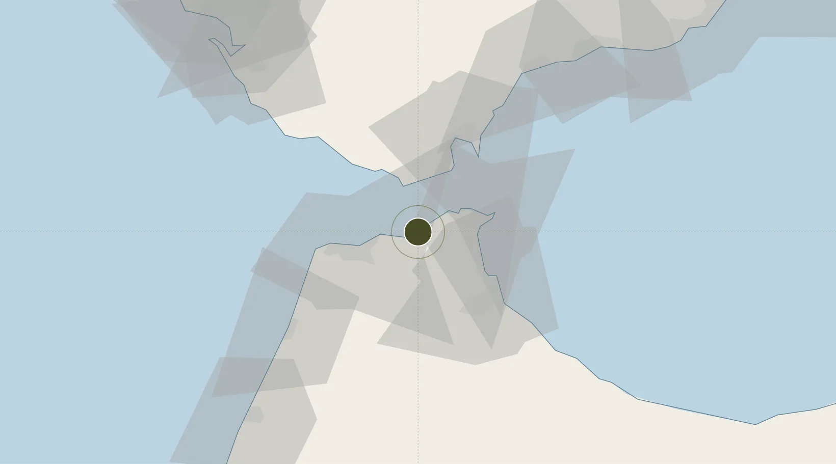
35.8420°, -5.5587°
314 ha
Zone area
7.5 km
Nearest port
23.4 km
Nearest airport

Gateway access

Nearest neighbours — logibook spatial index (haversine) over the source coordinates

Zone profile

Zone type
Free Trade Zone
Open Zone Map
Region
Tanger - Tétouan
Open Zone Map
Status
Active
Open Zone Map
Management
Private
Open Zone Map
Operator
Tanger Med Port Authority
Open Zone Map
Legal framework
Decree-Law No. 2-02-644 of September 10 2002 on the creation of a Tanger-Mediterranean Free Zone
Open Zone Map

Location

Location of ozm-2876
Natural Earth 10m (public domain) · Tanger - Tétouan · ozm-2876 · 35.84, -5.56GoogleOSMYandex

Nearby Logistics Neighbours

Ports
  1. 1Tangier-Mediterranean8 km
  2. 2Ceuta23 km
  3. 3Tanger24 km
  4. 4Algeciras34 km
  5. 5Cadiz102 km
Nearest neighbours — logibook spatial index (haversine) over the source coordinates
Airports
  1. 1Ceuta Heliport23 km
  2. 2Algeciras Heliport34 km
  3. 3Tangier Ibn Battuta Airport35 km
  4. 4Sania Ramel Airport35 km
  5. 5Gibraltar Airport39 km
Nearest neighbours — logibook spatial index (haversine) over the source coordinates
Cities
  1. 1Tanger Med2 km
  2. 2Ceuta22 km
  3. 3Tangier24 km
  4. 4Tétouan35 km
  5. 5Algeciras35 km
Nearest neighbours — logibook spatial index (haversine) over the source coordinates
Trade Zones
  1. 1Tanger Automotive City20 km
  2. 2Autonomous City of Ceuta22 km
  3. 3Tetouan Shore Industrial Park31 km
  4. 4Depósito Franco de Algeciras33 km
  5. 5Tanger Free Export Zone35 km
Nearest neighbours — logibook spatial index (haversine) over the source coordinates
DatabookThe Record of Consolidated Knowledge
Morocco beyond logistics?
Browse databook

All Sources

Trade ZonesOpen Zone Map
CC BY
Portsthe NGA World Port Index
Public domain (US gov)
AirportsOurAirports
Public domain
LocationsUN/LOCODE
UN/LOCODE — free
← Morocco trade zones