UN/LOCODE hub · Spain
ESAMI
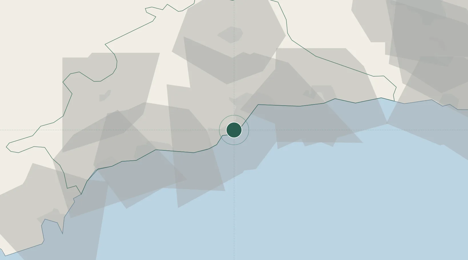
Arroyo de la Miel
36.6000°, -4.5333°
17,763
Population
2
Transport functions
Transport Functions
Rail
Airport
Hub Profile
Place type
Populated place
Region
Andalusia
Population
17,763
Time zone
Europe/Madrid
Elevation
20 m
Location
Nearby Logistics Neighbours
Cities
- 1Churriana8 km
- 2Campanillas13 km
- 3Málaga15 km
- 4Yunquera17 km
- 5Monda27 km
Ports
- 1Malaga17 km
- 2Motril92 km
- 3Algeciras96 km
- 4Ceuta105 km
- 5Tangier-Mediterranean118 km
Airports
- 1Málaga-Costa del Sol Airport9 km
- 2Gibraltar Airport89 km
- 3F.G.L. Airport Granada-Jaén Airport94 km
- 4Algeciras Heliport97 km
- 5Armilla Air Base100 km
Trade Zones
DatabookThe Record of Consolidated Knowledge
Spain beyond logistics?