UN/LOCODE hub · Spain
ESCPL

Campanillas

36.7167°, -4.5333°
3
Transport functions

Transport Functions

Port
Road
Multimodal
UN/LOCODE

Hub Profile

Place type
Populated place
GeoNames
Region
Andalusia
GeoNames
Time zone
Europe/Madrid
GeoNames
Elevation
28 m
GeoNames

Location

Location of ESCPL
Natural Earth 10m (public domain) · Andalusia · ESCPL · 36.72, -4.53GoogleOSMYandex

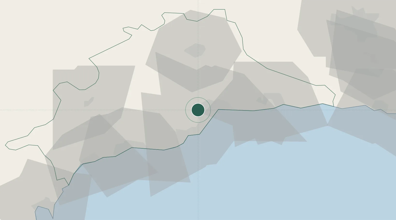
Nearby Logistics Neighbours

Cities
  1. 1Churriana6 km
  2. 2Málaga10 km
  3. 3Yunquera10 km
  4. 4Arroyo de la Miel13 km
  5. 5Casabermeja21 km
Nearest neighbours — logibook spatial index (haversine) over the source coordinates
Ports
  1. 1Malaga10 km
  2. 2Motril91 km
  3. 3Algeciras103 km
  4. 4Ceuta115 km
  5. 5Tangier-Mediterranean127 km
Nearest neighbours — logibook spatial index (haversine) over the source coordinates
Airports
  1. 1Málaga-Costa del Sol Airport6 km
  2. 2F.G.L. Airport Granada-Jaén Airport85 km
  3. 3Armilla Air Base92 km
  4. 4Gibraltar Airport96 km
  5. 5Tomás Fernández Espada Airfield101 km
Nearest neighbours — logibook spatial index (haversine) over the source coordinates
Trade Zones
  1. 1Depósito Franco de Málaga36 km
  2. 2Depósito Franco de Algeciras104 km
  3. 3Autonomous City of Ceuta116 km
  4. 4Tanger Med Ksar el Majaz Mellousa Freeport134 km
  5. 5Tetouan Shore Industrial Park137 km
Nearest neighbours — logibook spatial index (haversine) over the source coordinates
DatabookThe Record of Consolidated Knowledge
Spain beyond logistics?
Browse databook

All Sources

LocationsUN/LOCODE
UN/LOCODE — free
Portsthe NGA World Port Index
Public domain (US gov)
AirportsOurAirports
Public domain
Trade Zonesthe World Bank SEZ database
CC BY 4.0
Trade ZonesOpen Zone Map
CC BY
← Spain locations