UN/LOCODE hub · Spain
ESZAX

Yunquera

36.7167°, -4.4167°
3,298
Population
1
Transport functions

Transport Functions

Multimodal
UN/LOCODE

Hub Profile

Place type
District seat
GeoNames
Region
Andalusia
GeoNames
Population
3,298
GeoNames
Time zone
Europe/Madrid
GeoNames
Elevation
682 m
GeoNames

Location

Location of ESZAX
Natural Earth 10m (public domain) · Andalusia · ESZAX · 36.72, -4.42GoogleOSMYandex

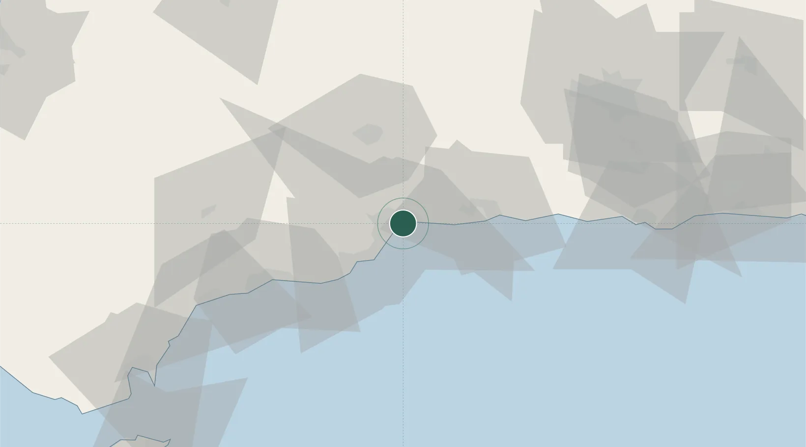
Nearby Logistics Neighbours

Cities
  1. 1Málaga1 km
  2. 2Churriana9 km
  3. 3Campanillas10 km
  4. 4Arroyo de la Miel17 km
  5. 5Casabermeja19 km
Nearest neighbours — logibook spatial index (haversine) over the source coordinates
Ports
  1. 1Malaga0 km
  2. 2Motril80 km
  3. 3Algeciras112 km
  4. 4Ceuta121 km
  5. 5Adra123 km
Nearest neighbours — logibook spatial index (haversine) over the source coordinates
Airports
  1. 1Málaga-Costa del Sol Airport9 km
  2. 2F.G.L. Airport Granada-Jaén Airport77 km
  3. 3Armilla Air Base84 km
  4. 4Gibraltar Airport105 km
  5. 5Tomás Fernández Espada Airfield111 km
Nearest neighbours — logibook spatial index (haversine) over the source coordinates
Trade Zones
  1. 1Depósito Franco de Málaga38 km
  2. 2Depósito Franco de Algeciras112 km
  3. 3Autonomous City of Ceuta123 km
  4. 4Tanger Med Ksar el Majaz Mellousa Freeport141 km
  5. 5Tetouan Shore Industrial Park143 km
Nearest neighbours — logibook spatial index (haversine) over the source coordinates
DatabookThe Record of Consolidated Knowledge
Spain beyond logistics?
Browse databook

All Sources

LocationsUN/LOCODE
UN/LOCODE — free
LocationsGeoNames
CC BY 4.0
Portsthe NGA World Port Index
Public domain (US gov)
AirportsOurAirports
Public domain
Trade Zonesthe World Bank SEZ database
CC BY 4.0
Trade ZonesOpen Zone Map
CC BY
← Spain locations