Medium airport · Spain
Armilla Air BaseLEGA
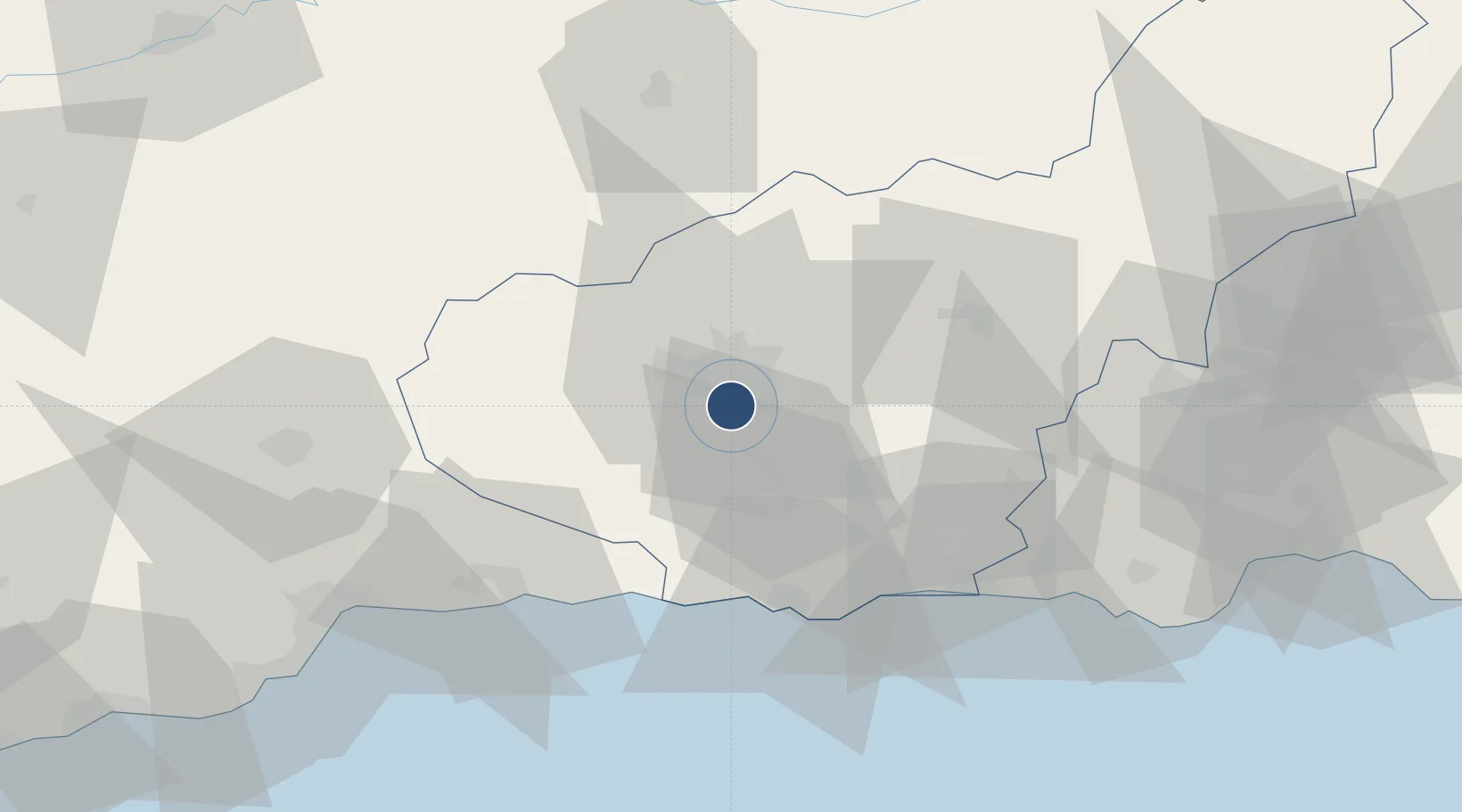
37.1332°, -3.6357°
4,265 ft
Longest runway
1
Runways
2,297 ft
Elevation
Runway & Layout

Radio Frequencies
TWR
118.7 MHz
GND
121.825 MHz
MIL
122.1 MHz
MIL
139.3 MHz
Navaids
ARM NDB Armilla 344 kHz
TGR TACAN Armilla 113.10 MHz
Runways · 1
| Runway | Dimensions | Surface | True heading | Lit |
|---|---|---|---|---|
| 18/36 | 4,265 × 98ft | Asphalt | 181° | — |
Airport Specifications
ICAO code
LEGA
Airport class
Medium airport
Scheduled service
No
Runway surface
Asphalt
Served city
Armilla
Location
Nearby Logistics Neighbours
Airports
- 1F.G.L. Airport Granada-Jaén Airport14 km
- 2Málaga-Costa del Sol Airport92 km
- 3Almería Airport117 km
- 4Córdoba Airport133 km
- 5Moron Air Base176 km
Cities
- 1Alhendin2 km
- 2Armilla3 km
- 3Ogijares4 km
- 4Las Gabias5 km
- 5Maracena7 km
Ports
- 1Motril44 km
- 2Adra70 km
- 3Malaga84 km
- 4Almeria109 km
- 5Puerto De Carboneras156 km
Trade Zones
- 1Depósito Franco de Málaga80 km
- 2Depósito Franco de Algeciras196 km
- 3Autonomous City of Ceuta205 km
- 4Zona Franca de Sevilla211 km
- 5Melilla Autonomous Community214 km
DatabookThe Record of Consolidated Knowledge
Spain beyond logistics?