UN/LOCODE hub · Spain
ESAGP
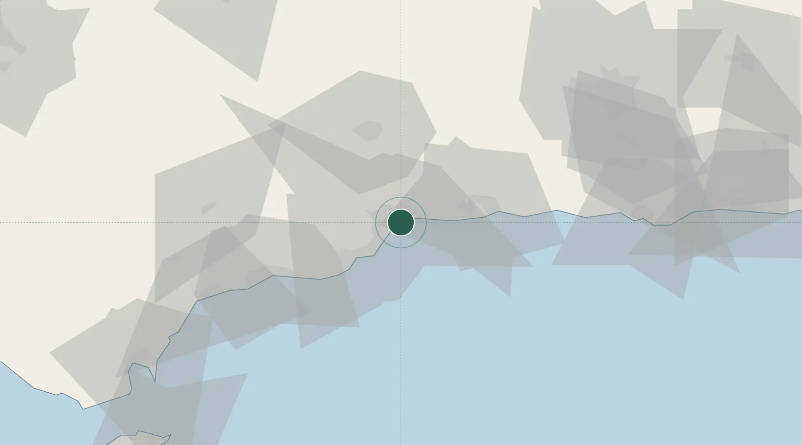
Málaga
36.7060°, -4.4224°
591,637
Population
3
Transport functions
1
Container terminals
Transport Functions
Port
Airport
Postal
Hub Profile
Place type
Provincial seat
Region
Andalusia
Population
591,637
Time zone
Europe/Madrid
Elevation
22 m
Logistics facilities
2
Container terminals
1
Location
Nearby Logistics Neighbours
Cities
- 1Yunquera1 km
- 2Churriana8 km
- 3Campanillas10 km
- 4Arroyo de la Miel15 km
- 5Casabermeja20 km
Ports
- 1Motril81 km
- 2Algeciras111 km
- 3Ceuta120 km
- 4Adra124 km
- 5Tangier-Mediterranean133 km
Airports
Trade Zones
DatabookThe Record of Consolidated Knowledge
Spain beyond logistics?