UN/LOCODE hub · Spain
ESZDU

Churriana

36.6667°, -4.5000°
1
Transport functions

Transport Functions

Multimodal
UN/LOCODE

Hub Profile

Place type
Urban district
GeoNames
Region
Andalusia
GeoNames
Time zone
Europe/Madrid
GeoNames
Elevation
31 m
GeoNames

Location

Location of ESZDU
Natural Earth 10m (public domain) · Andalusia · ESZDU · 36.67, -4.50GoogleOSMYandex

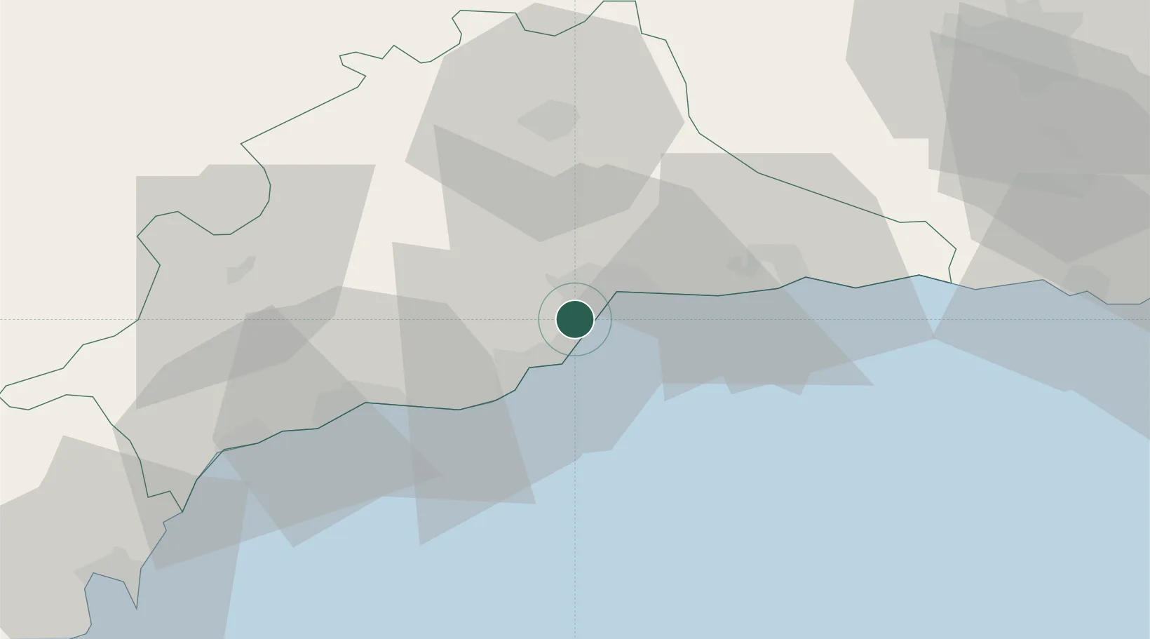
Nearby Logistics Neighbours

Cities
  1. 1Campanillas6 km
  2. 2Arroyo de la Miel8 km
  3. 3Málaga8 km
  4. 4Yunquera9 km
  5. 5Casabermeja25 km
Nearest neighbours — logibook spatial index (haversine) over the source coordinates
Ports
  1. 1Malaga9 km
  2. 2Motril88 km
  3. 3Algeciras102 km
  4. 4Ceuta112 km
  5. 5Tangier-Mediterranean125 km
Nearest neighbours — logibook spatial index (haversine) over the source coordinates
Airports
  1. 1Málaga-Costa del Sol Airport1 km
  2. 2F.G.L. Airport Granada-Jaén Airport87 km
  3. 3Armilla Air Base93 km
  4. 4Gibraltar Airport95 km
  5. 5Algeciras Heliport103 km
Nearest neighbours — logibook spatial index (haversine) over the source coordinates
Trade Zones
  1. 1Depósito Franco de Málaga42 km
  2. 2Depósito Franco de Algeciras103 km
  3. 3Autonomous City of Ceuta114 km
  4. 4Tanger Med Ksar el Majaz Mellousa Freeport132 km
  5. 5Tetouan Shore Industrial Park134 km
Nearest neighbours — logibook spatial index (haversine) over the source coordinates
DatabookThe Record of Consolidated Knowledge
Spain beyond logistics?
Browse databook

All Sources

LocationsUN/LOCODE
UN/LOCODE — free
Portsthe NGA World Port Index
Public domain (US gov)
AirportsOurAirports
Public domain
Trade Zonesthe World Bank SEZ database
CC BY 4.0
Trade ZonesOpen Zone Map
CC BY
← Spain locations