Transport Functions
Port
Road
Hub Profile
Place type
Populated place
Region
Mecklenburg-Vorpommern
Time zone
Europe/Berlin
Elevation
1 m
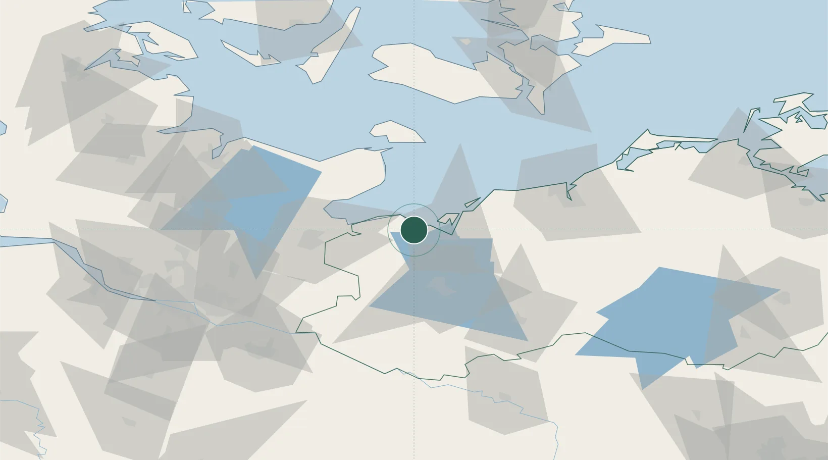
Location
Nearby Logistics Neighbours
Cities
- 1Grevesmühlen9 km
- 2Dassow18 km
- 3Selmsdorf26 km
- 4Niendorf Ostsee29 km
- 5Rerik30 km
Ports
- 1Wismar15 km
- 2Lubeck-Travemunde24 km
- 3Neustadt34 km
- 4Lubeck37 km
- 5Heiligenhafen51 km
Airports
Trade Zones
DatabookThe Record of Consolidated Knowledge
Germany beyond logistics?