Medium airport · Germany
Rostock-Laage AirportETNL
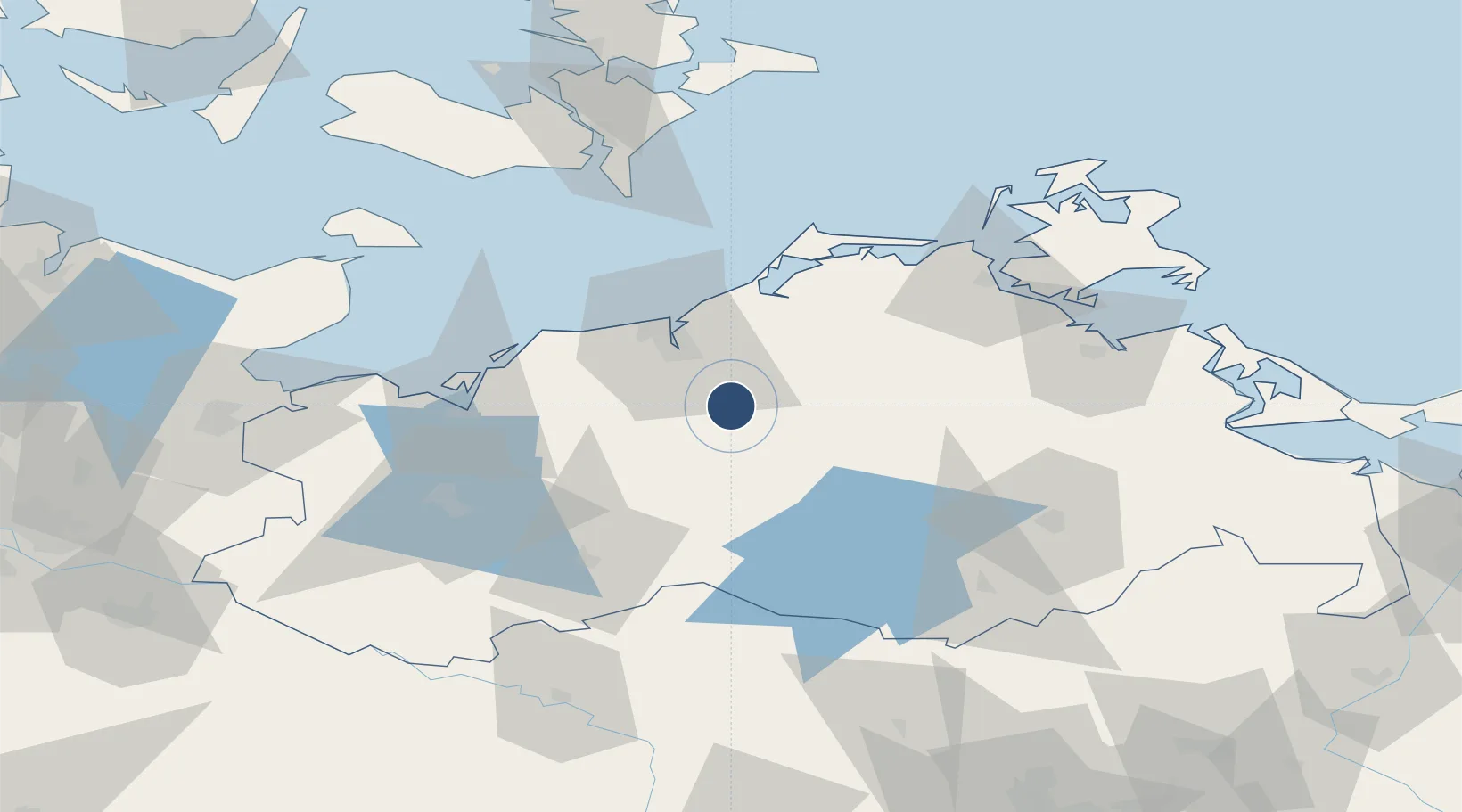
53.9182°, 12.2783°
8,202 ft
Longest runway
1
Runways
138 ft
Elevation
Runway & Layout

Radio Frequencies
ATIS
134.605 MHz
Laage ATIS
TWR
118.43 MHz
Laage Tower / Turm
ACC
126.175 MHz
BERLIN RADAR
AFIS
132.65 MHz
Langen Information
RDR
123.3 MHz
RADAR
Navaids
LAG TACAN Laage 108.25 MHz
Runways · 1
| Runway | Dimensions | Surface | True heading | Lit |
|---|---|---|---|---|
| 09/27 | 8,202 × 148ft | Concrete | 098° | ✓ |
Airport Specifications
IATA code
RLG
ICAO code
ETNL
Airport class
Medium airport
Scheduled service
Yes
Runway surface
Concrete
Served city
Laage
Location
Nearby Logistics Neighbours
Airports
- 1Neubrandenburg Trollenhagen Airport76 km
- 2Lolland Falster Maribo Airport103 km
- 3Lübeck Blankensee Airport103 km
- 4Heringsdorf Airport123 km
- 5Kiel-Holtenau Airport148 km
Cities
- 1Kronskamp3 km
- 2Weitendorf4 km
- 3Laage5 km
- 4Schwaan11 km
- 5Kessin18 km
Ports
- 1Rostock22 km
- 2Wismar53 km
- 3Stralsund70 km
- 4Nysted90 km
- 5Lubeck-Travemunde92 km
Trade Zones
- 1Swinoujscie Duty Free Zone131 km
- 2Freeport of Kiel145 km
- 3Szczecin Duty Free Zone161 km
- 4MTS Malmö Transport and Spedition195 km
- 5Freeport of Copenhagen- Nordhavn201 km
DatabookThe Record of Consolidated Knowledge
Germany beyond logistics?