UN/LOCODE hub · Germany
DEGVY

Grevesmühlen

53.8667°, 11.1667°
1
Transport functions

Transport Functions

Multimodal
UN/LOCODE

Hub Profile

Region
MV
GeoNames

Location

Location of DEGVY
Natural Earth 10m (public domain) · MV · DEGVY · 53.87, 11.17GoogleOSMYandex

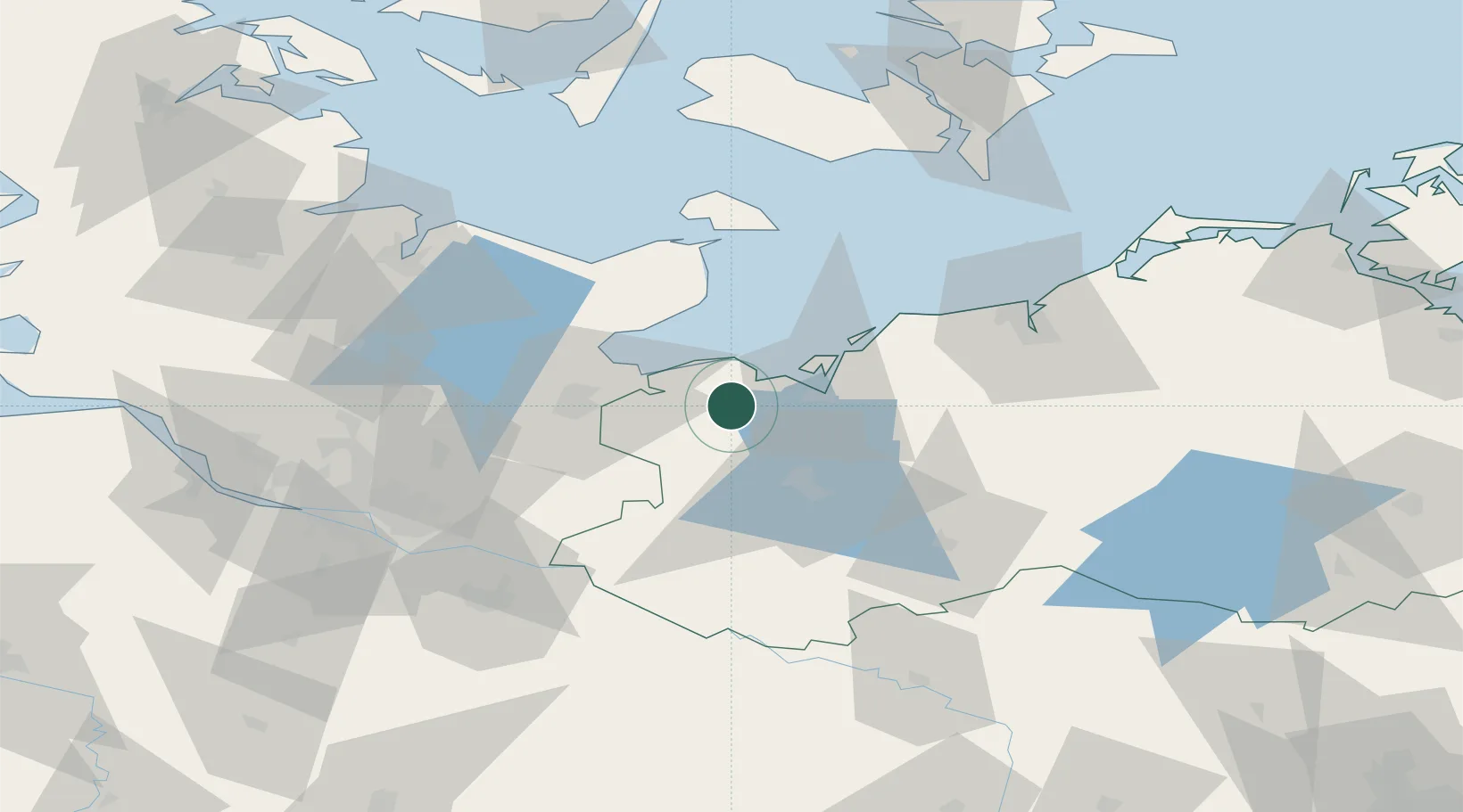
Nearby Logistics Neighbours

Cities
  1. 1Wohlenberg9 km
  2. 2Dassow13 km
  3. 3Selmsdorf20 km
  4. 4Niendorf Ostsee27 km
  5. 5Gross Grönau28 km
Nearest neighbours — logibook spatial index (haversine) over the source coordinates
Ports
  1. 1Wismar20 km
  2. 2Lubeck-Travemunde22 km
  3. 3Lubeck31 km
  4. 4Neustadt35 km
  5. 5Heiligenhafen57 km
Nearest neighbours — logibook spatial index (haversine) over the source coordinates
Airports
  1. 1Lübeck Blankensee Airport30 km
  2. 2Rostock-Laage Airport73 km
  3. 3Hamburg Helmut Schmidt Airport82 km
  4. 4Kiel-Holtenau Airport88 km
  5. 5Lolland Falster Maribo Airport94 km
Nearest neighbours — logibook spatial index (haversine) over the source coordinates
Trade Zones
  1. 1Freeport of Kiel83 km
  2. 2Freeport of Cuxhaven (Freihafen Cuxhaven)171 km
  3. 3Freeport of Bremerhaven (Freihafen Bremerhaven)180 km
  4. 4Swinoujscie Duty Free Zone204 km
  5. 5Freeport of Copenhagen- Nordhavn225 km
Nearest neighbours — logibook spatial index (haversine) over the source coordinates
DatabookThe Record of Consolidated Knowledge
Germany beyond logistics?
Browse databook

All Sources

LocationsUN/LOCODE
UN/LOCODE — free
Portsthe NGA World Port Index
Public domain (US gov)
AirportsOurAirports
Public domain
Trade Zonesthe World Bank SEZ database
CC BY 4.0
Trade ZonesOpen Zone Map
CC BY
← Germany locations