Transport Functions
Port
Road
Hub Profile
Place type
Populated place
Region
Mecklenburg-Vorpommern
Population
771
Time zone
Europe/Berlin
Elevation
55 m
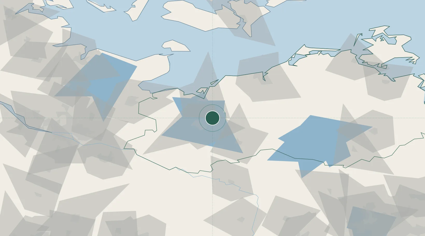
Location
Nearby Logistics Neighbours
Cities
- 1Weitendorf bei Brüel13 km
- 2Crivitz15 km
- 3Rastow29 km
- 4Grevesmühlen31 km
- 5Wohlenberg33 km
Ports
- 1Wismar23 km
- 2Lubeck-Travemunde53 km
- 3Rostock59 km
- 4Lubeck59 km
- 5Neustadt66 km
Airports
Trade Zones
DatabookThe Record of Consolidated Knowledge
Germany beyond logistics?